What is recorded here
Fairy fort / earthen ringfort in Ballymacurly South is a fairy fort or earthen ringfort in Ballymacurly South, County Roscommon, Ireland. The oval grass-covered area measures 63.7m north-south and 49.7m east-west, defined by a low scarp 0.1 to 0.3m high with no fosse. A relict field bank 3m wide and 0.2m high bisects the monument, while the southern and western perimeter has been cut back. Another rath stands approximately 30m to the west.
Visible as a subcircular feature on aerial photographs (GSIAP: M 7-8), and situated at the SE-facing crest at the SE end of a low NW-SE ridge. Oval grass-covered area (dims 63.7m N-S; 49.7m E-W) defined by a low scarp (H 0.1-0.3m) with no evidence of a fosse. The perimeter has been cut back SSW-WSW and the monument is bisected by a relict NNE-SSW field bank (Wth 3m; H 0.2m). Rath (RO035-028----) is c. 30m to the W.
Compiled by: Michael Moore
Date of upload: 24 August 2010
The monument record does not grant public access. Check the route and ask the landowner before entering private land.
- What survives
- Recorded monument
Places near here
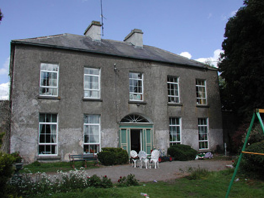 Ballymacurly Househouse · 547 yd
 IndicatedFairy fort / earthen ringfort · 786 yd
 Man-made underground passage in Ballymacurly SouthMan-made underground passage · 982 yd
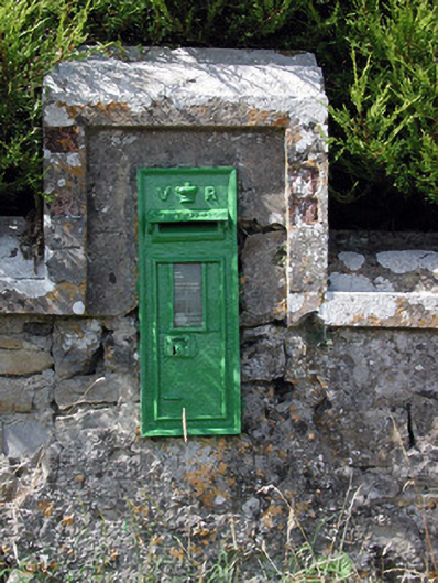 post boxpost box · 1.1 mi
 HawthornHawthorn · 2.6 mi
 Leitrim CastleCastle, unclassified · 5.1 mi
 European ashEuropean ash · 5.3 mi
 Roscommon CastleCastle · 5.5 mi
 CastlerubyCastle, unclassified · 5.6 mi
 Site of Killomaine Grave YardArchaeological place · 7.1 mi
 Sally IslandIslet · 8.6 mi
 Mount MaryMountain / peak · 9.6 mi