What is recorded here
Indicated is a thirty-one-metre earthen ring in County Cork, standing one point four metres high beside a working farmyard. Trees crowd its interior now, but the bank still marks a circular boundary in rough grazing land. Perhaps people lived there before records began, raising children or arguing about weather inside that shallow wall. The fort has lost its houses but kept its shape, waiting for someone to remember why the ground rises there.
In rough grazing land, immediately to N of farmyard. Circular area (diam. 31m) defined by earthen bank (H 1.4m). Interior planted with trees.
The above description is derived from the published 'Archaeological Inventory of County Cork. Volume 3: Mid Cork' (Dublin: Stationery Office, 1997). In certain instances the entries have been revised and updated in the light of recent research.
Date of upload/revision: 14 January 2009
The monument record does not grant public access. Check the route and ask the landowner before entering private land.
- What survives
- Recorded monument
Places near here
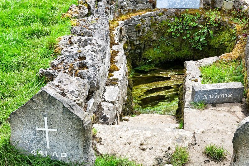 Holy well in CarhueHoly well · 928 yd
 Ecclesiastical site in BallymacooEcclesiastical site · 956 yd
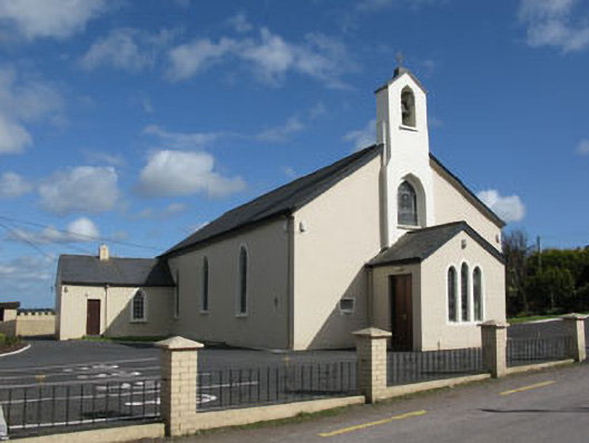 St Patrick's Roman Catholic Churchchurch/chapel · 1.4 mi
 bridgebridge · 1.4 mi
 Ballyvodane Castle (in Ruins)Castle, unclassified · 1.7 mi
 Ballyanly Inniscarra Slí na SláinteWalking route · 2.4 mi
 New TipperaryVisitor information · 3.1 mi
 Carrignamuck Tower HouseCastle · 3.1 mi
 Oldcastle WoodWood · 3.4 mi
 Bob AdamsMemorial · 3.6 mi
 Saint Bartholomew's WellSpring · 3.9 mi
 Coachford Greenway (End)Visitor information · 4.6 mi