What is recorded here
Fairy fort in Ballylin, County Limerick, is a levelled earthen ringfort still visible as a slightly raised circular area about thirty-six metres across. Its scarped edge and shallow external ditch mark the remains of an old enclosed place, now hidden beneath lush grass and changed by later field work. The fort may have served as a home, boundary or ritual marker, but its exact use has faded with the removal of nearby markers and the leveling of its bank. What survives is a quiet circular shadow in the pasture, waiting to be remembered rather than explained.
In level pasture. Monument, depicted on 1923 OS 6-inch map as circular enclosure (diam. c. 40m), has been levelled. However, it is now evident as slightly raised circular area (diam. c. 36m) defined by scarped edge (H 0.15m; Wth 3.65m) ENE->NW. Shallow external fosse (Wth 2m; D 0.1m) evident S->WNW. Interior flat and covered by lush grass. Field boundary, depicted immediately to E on 1923 OS 6-inch map, has been removed.
Compiled by: Denis Power
Date of upload: 26 August 2011
This remains an important historical record, but the official description says the monument is no longer visible or has been destroyed. The monument record does not grant public access. Check the route and ask the landowner before entering private land.
- What survives
- No visible remains or recorded as destroyed
Places near here
 Enclosure in Ballylin (shanid By., Ardagh Ed)Enclosure · 124 yd
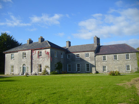 Glenville Housecountry house · 584 yd
 Ardagh FortArchaeological place · 767 yd
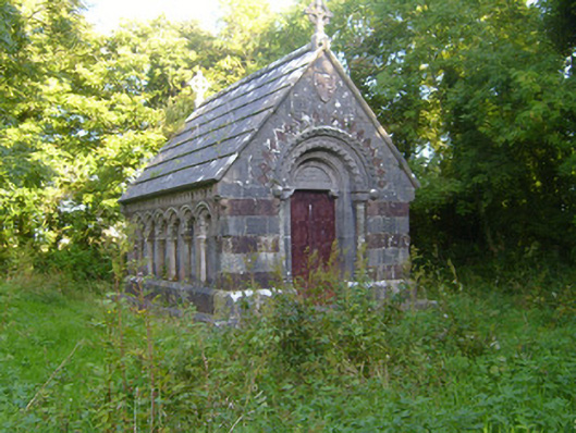 Rathronan Churchmausoleum · 913 yd
 CahermoyleCastle, unclassified · 1613 yd
 St. Luke's WellSpring · 1.2 mi
 Castle (in ruins)Castle, tower house · 1.8 mi
 St. Kieran's WellSpring · 2.8 mi
 Limerick GreenwayWalking route · 4.3 mi
 European ashEuropean ash · 4.7 mi
 Sugar HillMountain / peak · 6.0 mi
 Monterey CypressMonterey Cypress · 8.1 mi