What is recorded here
Fairy forts are human ringforts renamed because people stopped remembering the hands that built them. In Ballylin, a shallow oval ridge still holds its shape on a gentle south-facing slope, wide enough for a small household and strong enough to resist forgetting. Cattle have worn part of the edge into loose stone, and elder bushes have claimed what people released. The fort is no longer a fort in the minds of those who pass it, but it remains a boundary drawn in earth, waiting for someone to remember that fairness and fancy both need witnesses.
In pasture, on gentle S-facing slope and below top of low rise. Oval area (30m N-S; 22m E-W) defined by scarped edge (H 2.1m; Wth 5.4m), which is highest E->W on down-slope side. Scarp eroded by cattle particularly along SE arc; consequently much loose stones scattered along top edge of scarp and into interior. Interior surface generally uneven; NW quadrant is c. 0.6m lower than remainder. Elder bushes grow sporadically over enclosure which is otherwise under rough pasture. Field boundary (axis E-W) depicted on 1923 OS 6-inch map skirting enclosure to N, has since been removed.
Compiled by: Denis Power
Date of upload: 26 August 2011
See attached ASI aerial photographs ASIAP – taken on 04/03/2006.
The monument record does not grant public access. Check the route and ask the landowner before entering private land.
- What survives
- Recorded monument
Places near here
 Enclosure in Ballylin (shanid By., Ardagh Ed)Enclosure · 179 yd
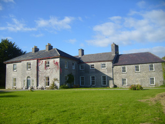 Glenville Housecountry house · 672 yd
 Ardagh FortArchaeological place · 807 yd
 Rathronan Churchmausoleum · 881 yd
 CahermoyleCastle, unclassified · 1.0 mi
 St. Luke's WellSpring · 1.3 mi
 Castle (in ruins)Castle, tower house · 1.9 mi
 St. Kieran's WellSpring · 2.9 mi
 Limerick GreenwayWalking route · 4.3 mi
 European ashEuropean ash · 4.9 mi
 Sugar HillMountain / peak · 5.9 mi
 Monterey CypressMonterey Cypress · 8.0 mi