What is recorded here
Aerial photograph (GB90.CL. 03, 26 July 1990) shows cropmark of an irregular curvilinear enclosure defined by a fosse and with annexe on the south-eastern side.
Compiled by: Dr Gillian Barrett for the Archaeological Survey of Ireland.
Date of upload: 29 March 2010
The monument record does not grant public access. Check the route and ask the landowner before entering private land.
- What survives
- Recorded monument
Places near here
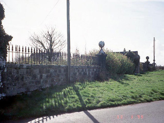 Burton Halldemesne walls/gates/railings · 626 yd
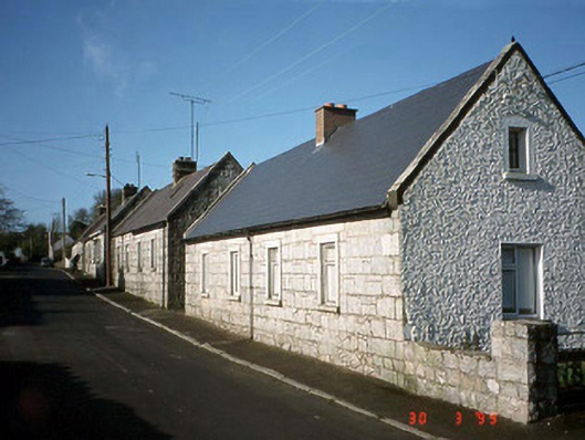 worker's houseworker's house · 1086 yd
 Enclosure in Pollerton BigEnclosure · 1397 yd
 Enclosure in Pollerton LittleEnclosure · 1.0 mi
 European YewEuropean Yew · 1.1 mi
 Brownshill Portal TombVisitor information · 1.3 mi
 Cork oakCork oak · 1.3 mi
 Gorteen MoundCastle, unclassified · 1.8 mi
 Graigue Castle in ruinsCastle, unclassified · 2.2 mi
 VISUAL Centre for Contemporary ArtGallery · 2.9 mi
 Church (in Ruins), GraveyardChurch · 3.1 mi
 ProclamationMemorial · 3.9 mi