What is recorded here
In pasture. Identified during ASI fieldwork in 1987. A roughly circular flat-topped mound (diam. 7m E-W; 6m N-S; H c. 0.4m), possibly a fulacht fia.
Compiled by: Jean Farrelly
Date of upload: 24 July 2019
The monument record does not grant public access. Check the route and ask the landowner before entering private land.
- What survives
- Recorded monument
Places near here
 Enclosure in Ballylarkin LowerEnclosure · 320 yd
 IndicatedBuilding · 479 yd
 CastleCastle, tower house · 532 yd
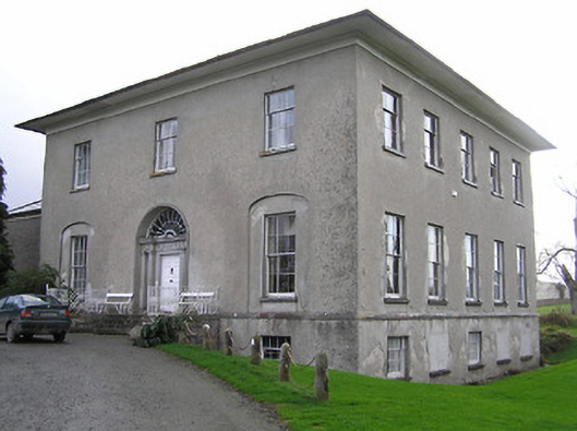 Kilrush Housecountry house · 594 yd
 Site of English's houseArchaeological place · 805 yd
 The CopseWood · 1439 yd
 The PondsForest · 1522 yd
 Upper CourtCastle, unclassified · 1.1 mi
 Freshford LoopWalking route · 1.1 mi
 Emma Jane Browne-ClaytonMemorial · 1.6 mi
 Clomantagh HillMountain / peak · 3.2 mi
 John HelyMemorial · 5.2 mi