What is recorded here
Earthwork in Ballyknockane (Templetouhy parish) is an earthwork in Ballyknockane (Templetouhy parish), County Tipperary, Ireland. The inventory recorded it on an east-west ridge in undulating countryside, adjoining a ringfort to the northwest. It appeared on the first edition Ordnance Survey six-inch map, while the same account stated that it was not visible at ground level during its examination.
Situated on an E-W ridge in undulating countryside with an adjoining ringfort (TN030-031001) to the NW. Depicted on the 1st ed. OS 6-inch map as an adjoining earthwork (Stout 1984, 37). Not visible at ground level.
The above description is derived from 'The Archaeological Inventory of County Tipperary. Vol. 1 - North Tipperary' compiled by Jean Farrelly and Caimin O'Brien (Dublin: Stationery Office, 2002). In certain instances the entries have been revised and updated in the light of recent research.
Date of upload/revision: 22 September 2008
The monument record does not grant public access. Check the route and ask the landowner before entering private land.
- What survives
- Recorded monument
Places near here
 Settlement desertedSettlement deserted, medieval · 633 yd
 Church (site of)Church · 854 yd
 Drummin Castle (in ruins)Castle, tower house · 1189 yd
 CastleBawn · 1493 yd
 Templeree Church (in Ruins)Church · 1638 yd
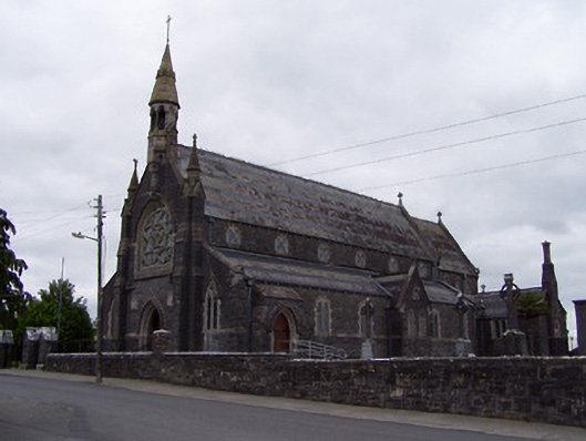 Catholic Church of the Sacred Heartchurch/chapel · 1.2 mi
 Tullow HillMountain / peak · 1.9 mi
 Clonmeen WoodWood · 3.6 mi
 Morris's GroveForest · 4.5 mi
 College HillMountain / peak · 4.7 mi
 Pheasant IslandHeritage attraction · 7.8 mi
 Lár na PáirceMuseum · 7.9 mi