What is recorded here
Conjoined to enclosure (TS061-007003-) to E via shared fosse. Roughly rectangular area (dims. 18m E-W; 14m N-S) defined by linear bank, reduced to scarp (max. Wth 1.75m; max. H 1.15m) which is best preserved to E (L 14m), S (L 18m) and W (L 14m). Scarp low and eroded to N, is best preserved at W-end short return (L 4m). Corners rounded to SW and NW where possibly eroded by fluvial activity of hillside run-off. Shared fosse (overall Wth 4.7m; basal Wth 1.75m; D 1.7m) to E, where small stream flows from hillside to SE. Interior slopes down to NW with prevalent slope and is obscured by overgrowth in centre and along N-side. Linear, earthen field boundary (long axis WSW-ENE) is c. 4m to S. Enclosure (TS061-07001-) is c. 10m to WSW. Area separating the two monuments is poorly drained and is defined by a small water channel (long-axis NW-SE) where run-off from the hillside flows downslope.
Compiled by: Jean Farrelly
Date of upload: 26 August 2011
The monument record does not grant public access. Check the route and ask the landowner before entering private land.
- What survives
- Recorded monument
Places near here
 Enclosure in BallyknockEnclosure · 51 yd
 Ballyknock HillMountain / peak · 378 yd
 Burnt spread in GortmakellisBurnt spread · 980 yd
 Gortmakellis CastleCastle · 1109 yd
 DuvcloyRoad, hollow-way · 1.0 mi
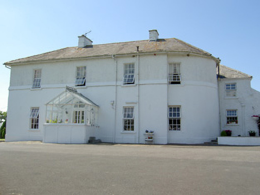 Hill Househouse · 1.1 mi
 Castle in RuinsHouse, fortified house · 1.1 mi
 Rock of CashelHeritage attraction · 1.4 mi
 Cormac's ChapelHeritage attraction · 1.4 mi
 The Rock Of CashelVisitor information · 1.4 mi
 Black mulberryBlack mulberry · 1.5 mi
 Dundrum Woods (Marl Bog)Forest · 8.1 mi