What is recorded here
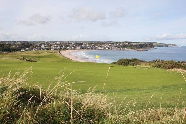
Not depicted as an antiquity on the 1837 ed. OS 6-inch map but shown as an oval-shaped field in the the SE corner of a larger rectangular field. In pasture, on top of a low E-W ridge with good views to N, E and W. Ballykilmore Lough visible 55m to the N. Ringfort (WM039-003----) 150m to NNE. Roughly oval-shaped area (diam. 30m N-S; 48m E-W) defined by a low earth and stone bank with traces of a narrow fosse only visible at SW which may not be an original feature. No entrance feature visible. The enclosing feature consists of a single earth and stone bank visible at E and W. At N and S the enclosing bank changes into a double bank with intervening fosse of post-1700 appearance. The interior of the ringfort is uneven.
See attached profile of monument surveyed and drawn by the ASI.
Compiled by: Caimin O’Brien
Date of upload: 02 August 2013
The monument record does not grant public access. Check the route and ask the landowner before entering private land.
- What survives
- Recorded monument
Places near here
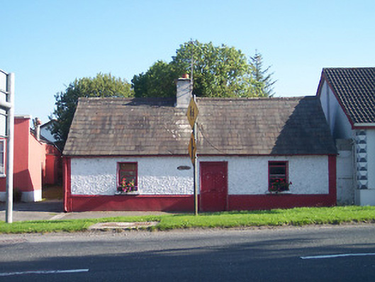 The Keephouse · 505 yd
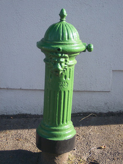 water pumpwater pump · 522 yd
 Partially hachuredFairy fort / earthen ringfort · 907 yd
 Tyrrellspass CastleCastle, tower house · 936 yd
 Man-made underground passage in Guilford or DavidstownMan-made underground passage · 1714 yd
 CastleCastle, hall-house · 1.2 mi
 Ardan WoodWood · 3.4 mi
 Cruil HillMountain / peak · 3.7 mi
 Lackan HillMountain / peak · 3.9 mi
 Saint Clavin's WellSpring · 4.4 mi
 Croghan HillMountain / peak · 4.7 mi
 Finnrenashark Holy WellSpring · 4.7 mi
Other information
Photo: Credit not shown in the picture search · Rights wording not checked; contact us if this picture should be removed