What is recorded here
On the summit of steep-sided Ballyhook hill. Listed as ‘Castle’ in the SMR (1986) and as ‘Building, possible, site’ in the RMP (1995). Indicated as a rectangular structure (c. 20m x 8m) and named ‘Stratford Castle (in ruins)’ on the 1839 and 1910 eds. of the OS 6-inch map. The OS Letters (O'Flanagan 1928, 94) refer to the local belief that this was a ‘fowling house’ built by Edward, Earl of Aldborough, and not a castle. Not visible at ground level.
Compiled by: Mary Tunney
Date of upload: 5 December 2012
The monument record does not grant public access. Check the route and ask the landowner before entering private land.
- What survives
- Recorded monument
Places near here
 Ballyhook HillMountain / peak · 19 yd
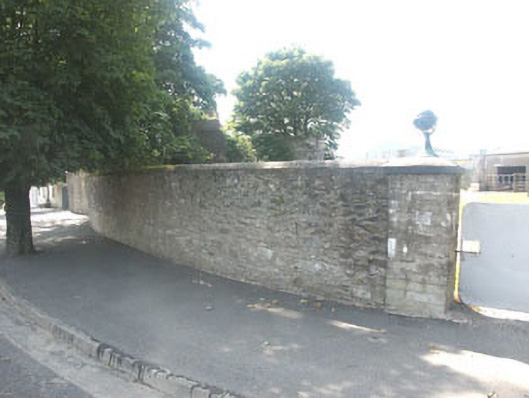 gates/railings/wallsgates/railings/walls · 1254 yd
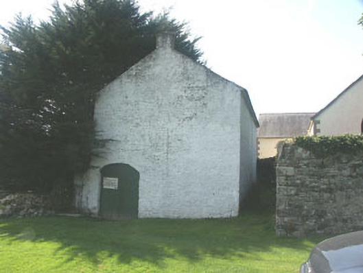 Stratford National Schoolschool · 1261 yd
 TobermurryHoly well · 1623 yd
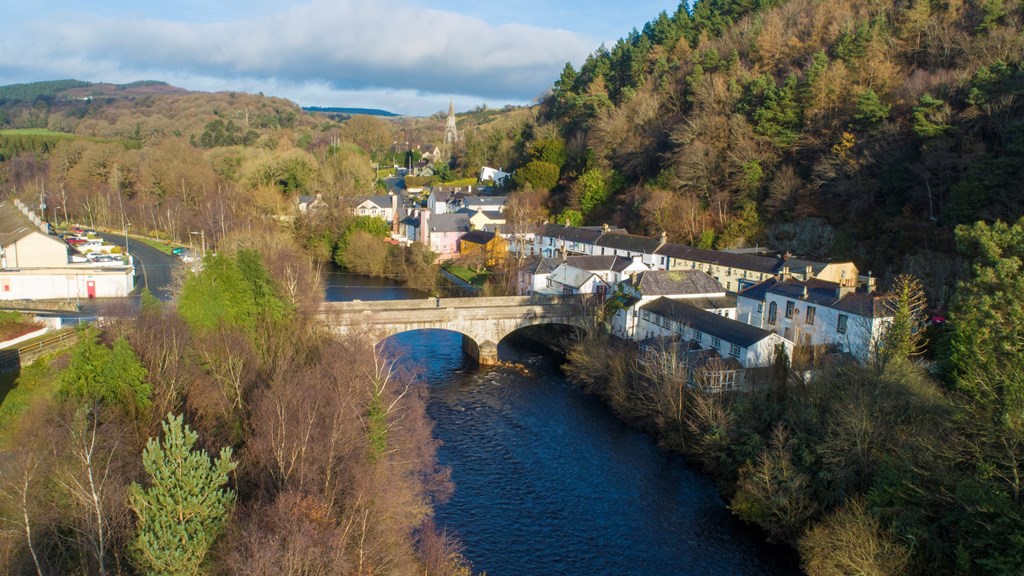 IndicatedFairy fort / earthen ringfort · 1.1 mi
 CastlerudderyCastle, unclassified · 1.6 mi
 Castleruddery MotteArchaeological place · 1.8 mi
 English hollyEnglish holly · 2.3 mi
 Tinoran HillMountain / peak · 3.1 mi
 Site of Fair GreenForest · 3.5 mi
 Saint Brigit's Mass StoneNamed rock · 3.8 mi
 Saint Brigit's ChairNamed rock · 3.8 mi