What is recorded here
Two stones stand knee deep in flat Cork pasture, neither hiding nor boasting, but waiting for someone to notice the distance between them. The larger SW stone rises 2.2m while the smaller NE stone reaches 1.4m, and the 2.05m gap between them spans more than half the total 5.2m length of the pair. A stream flows SW toward the Bandon river 50m away, carrying rain and memory past the stones instead of around them.
On flat pasture 50m NW of stream which flows SW into Bandon river. Stones, aligned NNE-SSW, stand 2.05m apart. Overall length is 5.2m. NE stone is 1.6m L, 0.6m T and 1.4m H. SW stone measures 1.8m L, 0.75m T and 2.2m H. (O'Nualláin 1988, 246, no.123)
The above description is derived from the published 'Archaeological Inventory of County Cork. Volume 1: West Cork' (Dublin: Stationery Office, 1992). In certain instances the entries have been revised and updated in the light of recent research.
Date of upload/revision: 14 January 2009
The monument record does not grant public access. Check the route and ask the landowner before entering private land.
- What survives
- Recorded monument
Places near here
 Pit in BallyhalwickPit · 37 yd
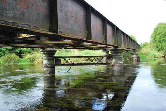 Milleenanannig Bridgeviaduct · 888 yd
 Enclosure in Acres (carbery East (w.d.) By.)Enclosure · 979 yd
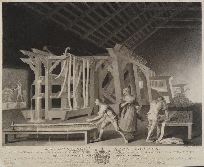 Bleach MillMill, bleaching · 1249 yd
 Graveyard in Dunmanway NorthGraveyard · 1.1 mi
 Dunmanway Heritage CentreVisitor information · 1.3 mi
 Castle (Site of)Castle, Anglo-Norman masonry castle · 1.5 mi
 Mohona WoodWood · 1.8 mi
 Mount GunneryMountain / peak · 2.3 mi
 Ballynacarriga CastleCastle, tower house · 2.3 mi
 Funmanway Adventure LandHeritage attraction · 2.5 mi
 Irish National Forestry FoundationNature reserve · 3.6 mi