
What is recorded here
Indicated is a ruined stone ringfort on a Galway grassland ridge, its collapsed wall now hidden beneath a later field boundary. The site still holds a low stone mound and a modern cattle pen, blending ancient human effort with ordinary farm life. Its exact history has faded, but the shape remains: a circle of stones marked by time, weather and reuse.
On a low rise in grassland. Poorly preserved subcircular cashel (38m N-S; 35.5m E-W) defined by a collapsed drystone wall, which is overlain by a later field wall. Possible entrance gap (Wth 4m) at ESE. A low mound of stone (L 4.5m; Wth 2m; H 0.5m) and a modern cattle pen are visible within the interior.
Compiled by: Galway Archaeological Survey, UCG
Date of upload: 14 October 2016
The monument record does not grant public access. Check the route and ask the landowner before entering private land.
- What survives
- Recorded monument
Places near here
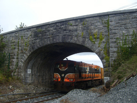 bridgebridge · 1006 yd
 Tubber Railway Stationrailway station · 1007 yd
 Tobereendoney Holy WellHoly well · 1.2 mi
 Fiddaun Castle (in ruins)Castle, tower house · 1.4 mi
 Bawn in Fiddaun (kiltartan By.)Bawn · 1.5 mi
 Enclosure in CarrowcraheenEnclosure · 1.6 mi
 Swan IslandIsland · 3.1 mi
 Apple IslandWood · 3.6 mi
 Keaghery IslandWood · 3.9 mi
 Kilmacduagh MonasteryHeritage attraction · 3.9 mi
 Kilmacduagh Monastic SiteVisitor information · 4.0 mi
 Mulkere MemorialMemorial · 4.0 mi
Other information
Photo: Credit not shown in the picture search · Rights wording not checked; contact us if this picture should be removed