What is recorded here
No visible trace survives at the south end of the esker ridge, though maps and plans preserve a wide embanked enclosure above gently undulating pasture. The vanished bank may have marked a home, a boundary, or a warning kept private by grass and rain.
At the S end of a NE-SW running esker ridge in gently undulating pastureland. Marked on the 1838 edition of the OS 6-inch map as an embanked enclosure (diam. c. 40m). A plan published by Knox (1918b, 113, no. 12) indicates a large enclosure (diam. c. 70m) defined by a bank from WSW through N to ENE. The central area of the interior was naturally raised. However, Cody (1989, 269-70, no. 92) classifies the monument as a ringfort. No visible surface trace survives.
Compiled by: Galway Archaeological Survey, UCG
Date of upload: 26 August 2019
The monument record does not grant public access. Check the route and ask the landowner before entering private land.
- What survives
- Recorded monument
Places near here
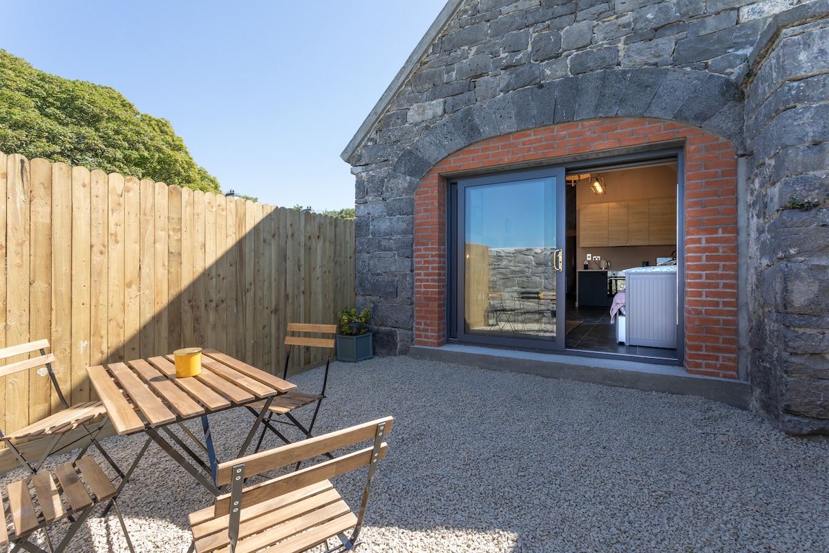 EnclosureEnclosure, large enclosure · 439 yd
 Cross (present location) in Raheen (athenry By.)Cross (present location) · 759 yd
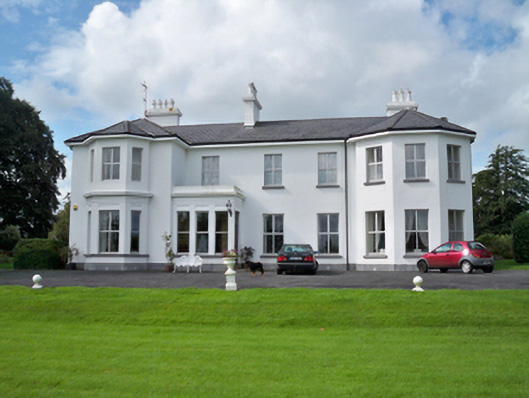 Raheen Househouse · 995 yd
 RoadRoad, road/trackway · 1066 yd
 Castle (in Ruins)Castle, unclassified · 1288 yd
 Horse-chestnutHorse-chestnut · 1.1 mi
 First Battle of Athenrybattle · 1.2 miCastle or King Johns Court (in ruins)Castle, Anglo-Norman masonry castle · 1.2 mi
 Athenry CastleHeritage attraction · 1.2 mi
 Athenry AbbeyHeritage attraction · 1.2 mi
 Moyard WoodWood · 3.8 mi
 Leadmine HillMountain / peak · 9.3 mi