
What is recorded here
Grave Yard in County Cork remains an active burial place beside a road, holding Roberts vaults from 1838 and older stones dating to 1782. It occupies a trapezoidal strip enclosed by stone walls, sloping gently southward beneath low uninscribed markers. The missing Ballyfoyle parish church once stood nearby, repaired in 1615 but ruined by 1639, leaving the graveyard as the continuing visible trace of that lost community.
On SE side of road; trapezoidal area (c. 35m N-S; c. 30m E-W) enclosed by stone wall; interior slopes down gently to S. Many low uninscribed grave markers in S half; headstone dated 1782 in SE corner; another stone (H0.6m; 0.25m x 0.16m) has simple Latin cross (H 0.2m; Wth 0.14m) incised on W face. Vault of Roberts family with date 1838 in NE corner. Still in use. No visible surface trace of Ballyfoyle parish church which stood to N of centre (site indicated on 1842 OS 6-inch map); in repair 1615 but ruinous by 1639 (Brady 1863, vol. 1, 354-5).
The above description is derived from the published 'Archaeological Inventory of County Cork. Volume 2: East and South Cork' (Dublin: Stationery Office, 1994). In certain instances the entries have been revised and updated in the light of recent research.
Date of upload/revision: 14 January 2009
The monument record does not grant public access. Check the route and ask the landowner before entering private land.
- What survives
- Recorded monument
Places near here
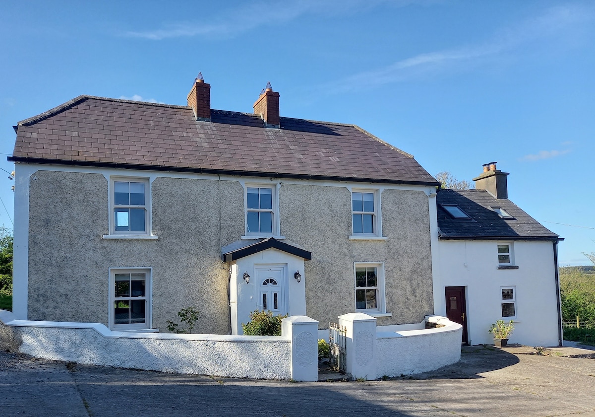 Enclosure in BallyfoyleEnclosure · 502 yd
 Rocky BayBeach / strand · 1189 yd
 outbuildingoutbuilding · 1403 yd
 DoonsorskeCliff-edge fort · 1501 yd
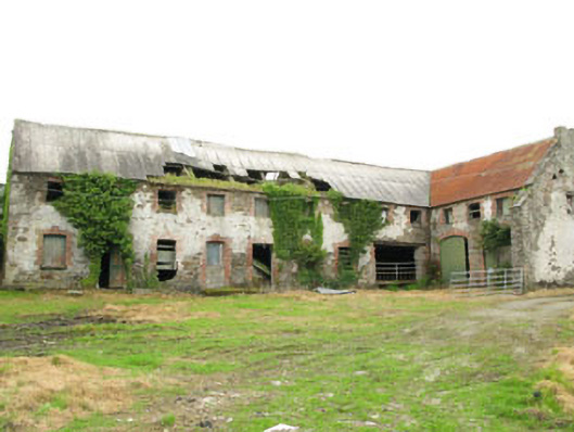 Britfieldstownoutbuilding · 1.0 mi
 View Cork HarbourViewpoint · 2.3 mi
 Nohaval CoveBeach / strand · 2.5 mi
 Barrys Castle (Site of)Castle, unclassified · 3.4 mi
 Creek Newfoundland BsyViewpoint · 3.6 mi
 Castle (in Ruins)Castle, tower house · 4.2 mi
 Coolmore WoodWood · 4.6 mi
 Roches PointHeadland · 5.2 mi
Other information
Photo: Credit not shown in the picture search · Rights wording not checked; contact us if this picture should be removed