What is recorded here
Indicated is a thirty-eight-metre earthen ringfort on a south-facing Cork slope, its low bank still catching the light where pasture grass presses against ancient soil. The eastern edge has become a field fence, while the southern bank lies levelled into a shallow spread of earth outside its own line. People may have lived, herded or hidden there before the land was divided, but the circle remains clear enough to walk and remember.
In pasture, on S-facing slope. Circular area (38m N-S; 38m E-W) enclosed by earthen bank (H 0.8m) SW->ESE. Bank incorporated into field fence system to E. Levelled bank to S visible as spread of material outside line of bank.
The above description is derived from the published 'Archaeological Inventory of County Cork. Volume 2: East and South Cork' (Dublin: Stationery Office, 1994). In certain instances the entries have been revised and updated in the light of recent research.
Date of upload/revision: 14 January 2009
The monument record does not grant public access. Check the route and ask the landowner before entering private land.
- What survives
- Recorded monument
Places near here
 IndicatedFairy fort / earthen ringfort · 346 yd
 Fulacht fia in ParkgarriffFulacht fia · 739 yd
 sign postsign post · 1035 yd
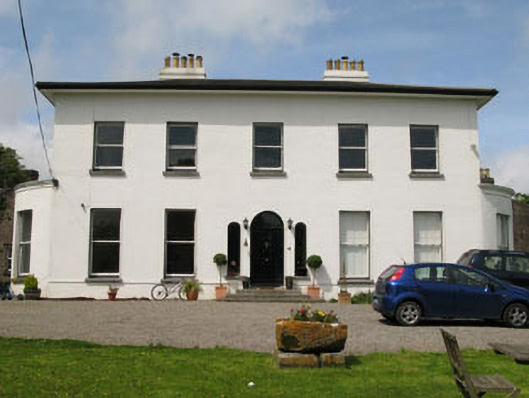 Raffeen Housecountry house · 1307 yd
 Passage West Maritime MuseumMuseum · 2.0 mi
 Rochestown WoodWood · 2.2 mi
 Cork WalksVisitor information · 5.9 mi
 Tourist OfficeVisitor information · 6.1 mi
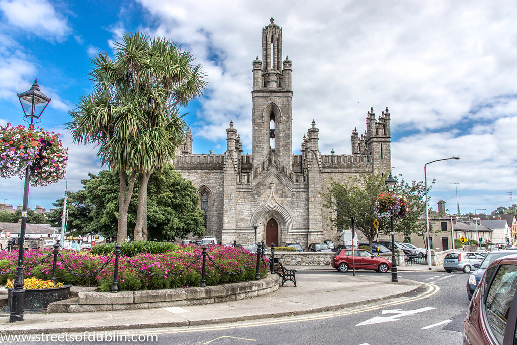 Monkstown Church (in Ruins)Church · 1320 yd
 Castle Househouse · 1327 yd
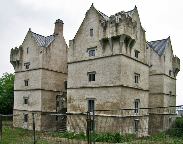 Monkstown Castlecastle/fortified house · 1411 yd
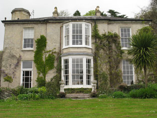 Ashleamhouse · 1445 yd