
What is recorded here
Indicated is a circular fairy fort in County Limerick, marked by a low earthen bank, external ditch and dense interior thorns. It sits on a SW-facing slope beside the avenue to Ballyegny House, where a removed field boundary once touched its eastern edge. The fort may have served as a boundary marker, ritual place or forgotten dwelling, but its name and exact use have faded. What remains is a sharp-edged ring in pasture, half buried in briars and memory.
In pasture, on SW-facing slope; on E side of avenue to Ballyegny House. Circular area (diam. c. 45m) enclosed by earthen bank (int. H 0.5m; ext. H 1.05m), with external fosse (Wth 2.5m) SW->E and counterscarp bank (int. H 0.35m; ext. H 0.4m) SW->N. Interior is covered by dense overgrowth of briars and thorn. Field boundary, depicted on 1923 OS 6-inch map abutting bank at ESE, has been removed.
Compiled by: Denis Power
Date of upload: 26 August 2011
This remains an important historical record, but the official description says the monument is no longer visible or has been destroyed. The monument record does not grant public access. Check the route and ask the landowner before entering private land.
- What survives
- No visible remains or recorded as destroyed
Places near here
 Ballyegny Househouse · 168 yd
 IndicatedFairy fort / earthen ringfort · 432 yd
 Mound in Ballyegny BegMound · 795 yd
 Castle (in ruins)Castle, tower house · 994 yd
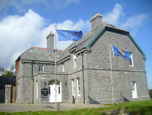 Rathgoonan Housecountry house · 1020 yd
 St. Luke's WellSpring · 1.3 mi
 CahermoyleCastle, unclassified · 1.4 mi
 St. Kieran's WellSpring · 2.0 mi
 European ashEuropean ash · 4.7 mi
 Askeaton CastleHeritage attraction · 5.8 mi
 Limerick GreenwayWalking route · 6.4 mi
 Gammarel PointHeadland · 6.6 mi
Other information
Photo: Credit not shown in the picture search · Rights wording not checked; contact us if this picture should be removed