What is recorded here
Indicated was a fairy fort in County Limerick, a circular earthen ring now mostly gone except for a short scarped edge still visible on the pasture slope. The land has been levelled and field boundaries removed, yet that small arc remains like a forgotten marker. People may have lived there, feared it, or simply passed it by. Whatever they did, the earth kept its shape long enough to be drawn on a map before disappearing again.
In pasture, on ESE-facing slope. Monument, depicted on 1923 OS 6-inch map as roughly circular enclosure (diam. c. 25m), has been levelled and surrounding field boundaries removed. However, short arc of scarped edge (H 0.3m; Wth 1.4m) is evident approximately on line of edge of enclosure at NE.
Compiled by: Denis Power
Date of upload: 26 August 2011
The monument record does not grant public access. Check the route and ask the landowner before entering private land.
- What survives
- Recorded monument
Places near here
 Mound in Ballyegny BegMound · 365 yd
 Ballyegny Househouse · 596 yd
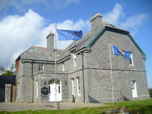 Rathgoonan Housecountry house · 678 yd
 Castle (in ruins)Castle, tower house · 788 yd
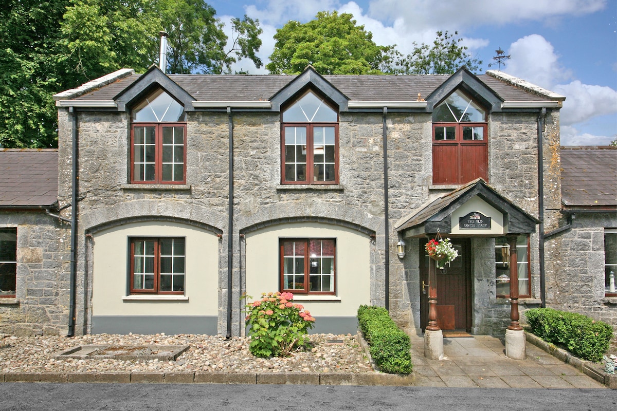 Enclosure in CahermoyleEnclosure · 1547 yd
 St. Luke's WellSpring · 1.0 mi
 CahermoyleCastle, unclassified · 1.2 mi
 St. Kieran's WellSpring · 2.0 mi
 European ashEuropean ash · 4.7 mi
 Limerick GreenwayWalking route · 6.2 mi
 Gammarel PointHeadland · 6.8 mi
 Monterey CypressMonterey Cypress · 7.1 mi
Other information
Photo: Credit not shown in the picture search · Rights wording not checked; contact us if this picture should be removed