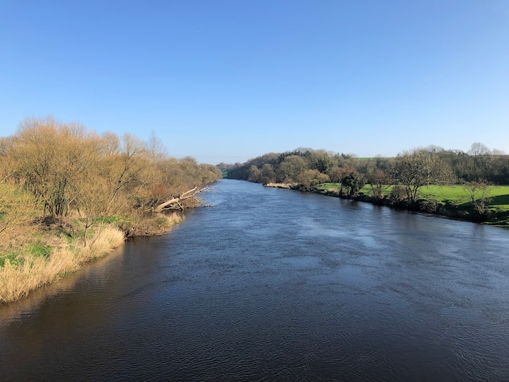
What is recorded here
Enclosure in Ballyduff Beg, Ballymacmague East is an enclosure in Ballyduff Beg, Ballymacmague East, County Waterford, Ireland. Bernard Scalé marked the site as a Danes Fort on a privately owned manuscript map of the lands of Dungarvan dating to 1775. Michael Moore recorded that it was not visible at ground level in tillage, although a curved field bank and the townland boundary with Ballymacmague East lie about 50 metres to the north-west through north to north-east.
Marked as a 'Danes Fort' on a privately owned manuscript map of the lands of Dungarvan by Bernard Scalé, dating to 1775. Situated on a level landscape, it is not visible at ground level in tillage although there is curved field bank and townland boundary with Ballymacmague East (C c. 50m) NW-NE.
Compiled by: Michael Moore.
Date of upload: 26 October, 2011
The monument record does not grant public access. Check the route and ask the landowner before entering private land.
- What survives
- Recorded monument
Places near here
 Embanked enclosureEnclosure · 952 yd
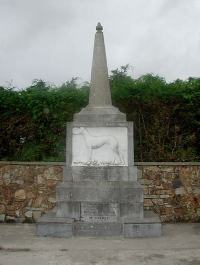 Master McGrath Monumentmonument · 1465 yd
 Master McGrathMemorial · 1466 yd
 Enclosure in KilladanganEnclosure · 1649 yd
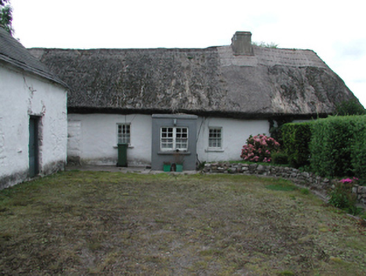 Kilrush Cottagefarm house · 1.1 mi
 CastleCastle, motte · 1.5 mi
 Castle (in ruins)Castle, unclassified · 1.7 mi
 Grattan SquareVisitor information · 2.1 mi
 Waterford County MuseumMuseum · 2.1 mi
 Dungarvan World War I MemorialMemorial · 2.2 mi
 Dungarvan CastleCastle · 2.2 mi
 Cunnigar PointHeadland · 2.6 mi
Other information
Photo: Credit not shown in the picture search · Rights wording not checked; contact us if this picture should be removed