What is recorded here
On level ground in garden of bungalow built c. 1930, enclosure to SE of house. Enclosure identified as a roughly circular cropmark (diam. c. 24m) on aerial photograph (GSI 16.4.1974 S.631/2). According to landowner there is no tradition of a 'fort' in this area, however, he mentioned a small concave enclosure (TS075-063001-), formerly defined by trees, which stood immediately E of garden boundary. Enclosure not visible at ground level.
Compiled by: Jean Farrelly
Date of upload: 26 August 2011
The monument record does not grant public access. Check the route and ask the landowner before entering private land.
- What survives
- Recorded monument
Places near here
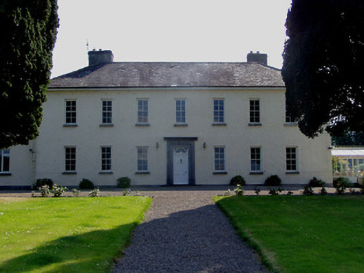 Ballydrehid Housecountry house · 530 yd
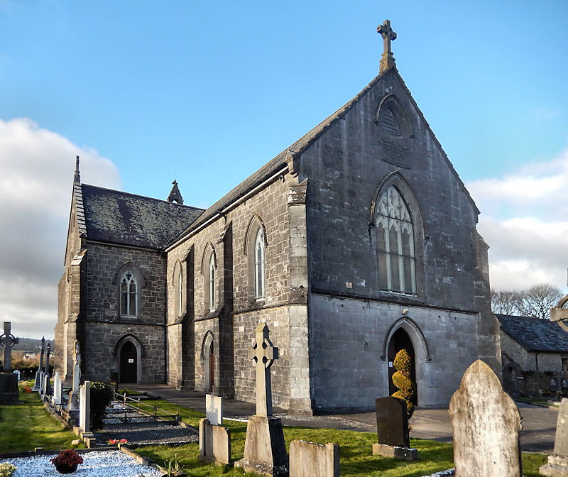
 Church in Clonmore North (caher Par.),clonmore South (caher Par.)Church · 835 yd
 RathwealCastle, ringwork · 1625 yd
 Enclosure in KnockgraffonEnclosure · 1755 yd
 Knockgraffon MoatCastle, motte and bailey · 1.1 mi
 Knockgraffon MotteArchaeological place · 1.1 mi
 Caucasian zelkovaCaucasian zelkova · 1.7 mi
 Caher AbbeyHeritage attraction · 1.9 mi
 Slieveanard NE TopMountain / peak · 1.9 mi
 Siege of Cahir Castlesiege · 2.0 mi
 Cappa WoodWood · 2.1 miCahir CastleHeritage attraction · 2.2 mi