What is recorded here
Magic and myth are not the same. The claim that a dead woman became a fairy and that her house is the fort is a story, not fact. The measurement and shape are fact. The woman, the wedding, the refusal and the change are legend.
Internal diameter 36m N-S, 33m E-W
Siuated in good pastureland with a fine view in all directions, this univallate rath is very overgrown but would appear to consist of a circular space enclosed by a well-defined earthen bank and external fosse. The enclosing bank ranges from 4m-6m in width at the base; at its highest point it measures 1.4m above the interior. The external fosse is 1.6m wide and .5m deep. The interior is at a higher level than the surrounding land and is divided into two unequal parts by a fieldbank running in a N-S direction.
The above description is derived from C. Toal, ‘North Kerry Archaeological Survey’. Dingle. Brandon in association with FAS Training and Employment Authority (1995), no. 381. In certain instances the entries have been revised and updated in the light of recent research.
Date of upload: 2 August 2013
The monument record does not grant public access. Check the route and ask the landowner before entering private land.
- What survives
- Recorded monument
Places near here
 LismoyleArchaeological place · 1139 yd
 Bawn in GlouriaBawn · 1169 yd
 Saint Teresa's Catholic Churchchurch/chapel · 1195 yd
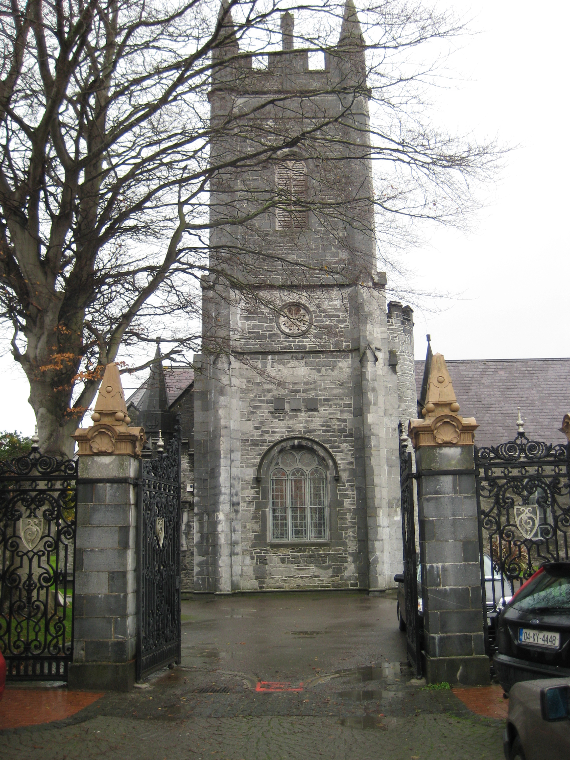 Galey Church (in ruins)Church · 1674 yd
 ToberboyHoly well · 1676 yd
 Bawn in BallydonohoeBawn · 1690 yd
 Lartigue MonorailMuseum · 3.5 mi
 John B. Keane GroveMemorial · 3.6 mi
 KnockanoreMountain / peak · 3.7 mi
 Kerry Writers' MuseumMuseum · 3.8 mi
 Bryan MacMahonMemorial · 3.8 mi
 Men's BeachBeach / strand · 5.6 mi