What is recorded here
In improved pasture, on an E-facing slope. The remains of an oval area (dims. c. 35m N-S; c. 30m E-W) defined by a possible bank incorporated into a curvilinear field boundary ESE-S-NNW and obscured by impenetrable growth. There are very low traces of levelled scarp (Wth 5m; H 0.15m) from NNW-N-ESE. The interior slopes down gently to E and is incorporated into the field as pasture. According to local information, field boundaries to N and E have been removed in recent decades during land improvements.
Compiled by: Jean Farrelly
Date of upload: 26 August 2011
The monument record does not grant public access. Check the route and ask the landowner before entering private land.
- What survives
- Recorded monument
Places near here
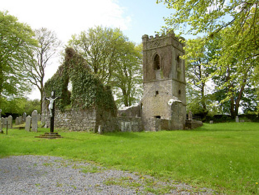 Lismalin Churchchurch/chapel · 1036 yd
 Enclosure in BallydonnellEnclosure · 1144 yd
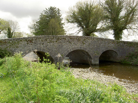 Islands Bridgebridge · 1559 yd
 Bawn in LismalinBawn · 1624 yd
 Fenane WoodForest · 1.1 mi
 Site of ChurchChurch · 1.5 mi
 Modeshil Castle (in ruins)Castle · 1.9 mi
 Knockuragh HillMountain / peak · 2.2 mi
 Pedunculate OakPedunculate Oak · 3.0 mi
 Eagle HillMountain / peak · 4.4 mi
 The SpoutMemorial · 5.3 mi
 KillameryVisitor information · 5.5 mi