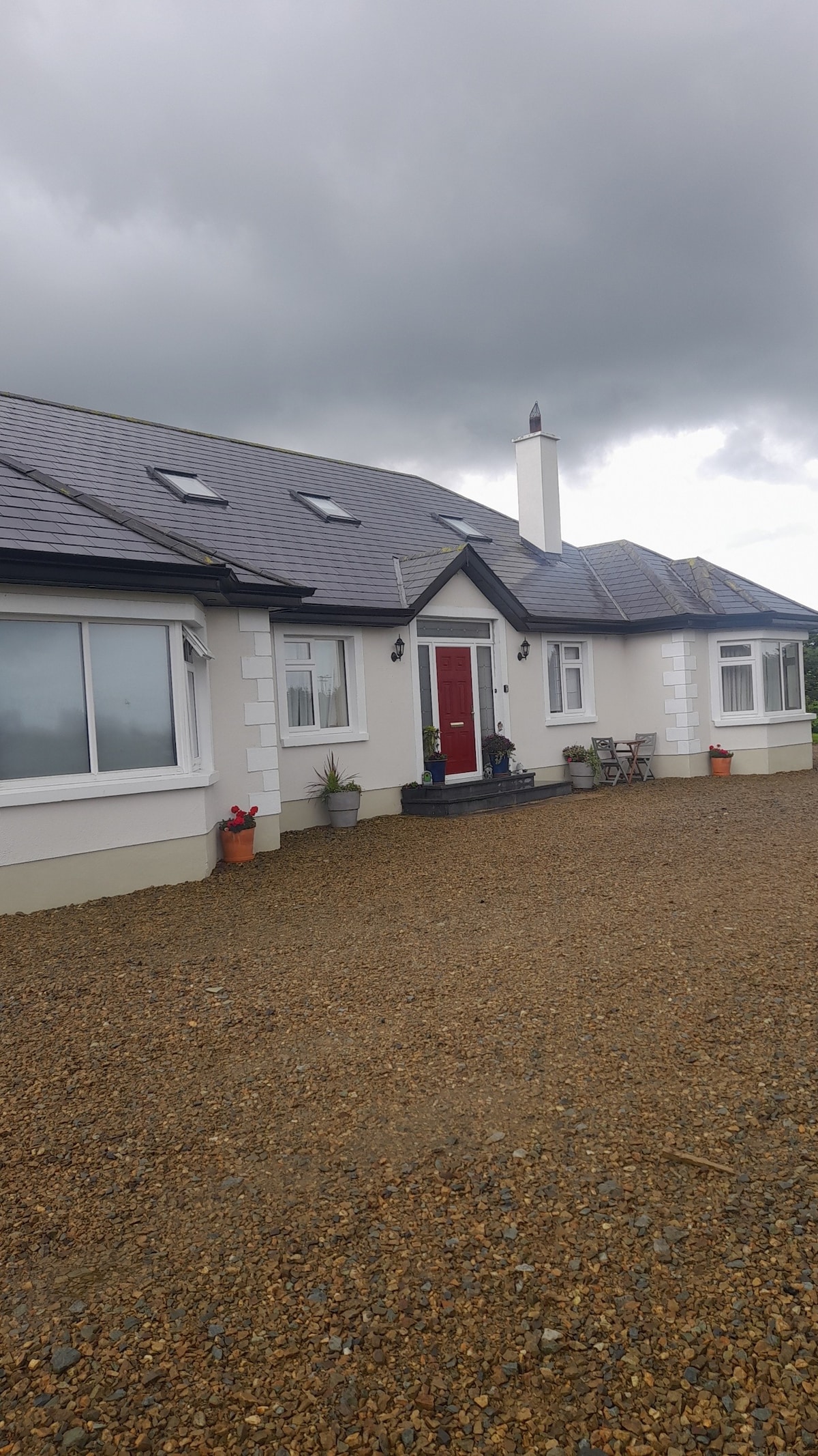
What is recorded here
Identified in centre-line testing (E4110) in advance of the M11 Gorey to Enniscorthy road scheme and set aside for resolution as Ballydawmore 1 (Hardy et al. 2010, 78-9). It is situated on a fairly level landscape. Full excavation (E4255) by C. Hardy recorded a C-shaped spread of broken and burnt stone (dims 4.2m N-S; 1.7m E-W; T 0.15m) centred on a subcircular trough (dims 1.58m x 1.49m; D 0.39m) with a post-hole and four stake-holes in its base. There were three pits (dims 2.08m x 1.44m; D 0.22m: 0.8m x 0.8m; D 0.08m: 0.3m x 0.24m; D 0.11m) within 5-6m of the trough, filled largely with silts and clay. 6m S of the trough was an ENE-WSW furrow, which had beneath it a double line of post-holes (L c. 5m). A sample from the trough produced a C14 date of Cal. BC 2366-2062, and four sherds of Middle Bronze Age pottery were found in the topsoil. The unrelated ditch (WX020-110----) is c. 40m to the SW and the unrelated metalworking site (WX020-112----) is c. 145m to the SSE. (McAuliffe and Ruttle 2012; Hardy 2013)
Compiled by: Michael Moore
Date of upload: 28 November, 2013
The monument record does not grant public access. Check the route and ask the landowner before entering private land.
- What survives
- Recorded monument
Places near here
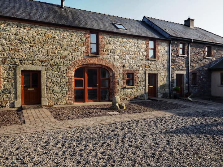 Hearth in BallydawmoreHearth · 234 yd
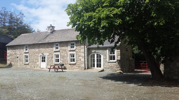 Enclosure in BallydawmoreEnclosure · 297 yd
 KilnKiln, corn-drying · 511 yd
 Kiln in Corbally (scarawalsh By.)Kiln · 701 yd
 Battle of Vinegar Hill, 1798Monument · 2.0 mi
 Embanked enclosureCastle, motte · 2.1 mi
 Vinegar HillMountain / peak · 2.1 mi
 U.N. Peace MemorialMonument · 2.7 mi
 Battle of Vinegar HillMajor battlefield · 2.7 mi
 Duffry GateMemorial · 2.8 mi
 National 1798 CentreMuseum · 2.9 mi
 Daphney CastleCastle, unclassified · 4.1 mi
Other information
Photo: Credit not shown in the picture search · Rights wording not checked; contact us if this picture should be removed