What is recorded here
Gallán was a single standing stone between two fulachta fiadh in County Cork, marked on the 1938 map but absent from earlier ones, and it has since disappeared without visible trace. It may have guided people to heat water, mark a boundary or simply catch the eye in open country. Its loss reminds us that many local landmarks depended on someone still pointing to them.
Not shown on 1842 and 1903 OS 6-inch maps. Marked 'Gallán' on 1938 OS 6-inch map and shown as single stone standing between two fulachta fiadh (CO061-032001; CO061-032003-). Removed; no visible surface trace.
The above description is derived from the published 'Archaeological Inventory of County Cork. Volume 3: Mid Cork' (Dublin: Stationery Office, 1997). In certain instances the entries have been revised and updated in the light of recent research.
Date of upload/revision: 14 January 2009
Likely dating to the Bronze Age, the stone's association with fulachta fiadh suggests it may have had a ritual or domestic function. The name "Gallán" may derive from a early Christian saint or a prehistoric personal name, though its specific meaning or folklore is not recorded.
The monument record does not grant public access. Check the route and ask the landowner before entering private land.
- What survives
- Recorded monument
Places near here
 Fulachta FiadhFulacht fia · 13 yd
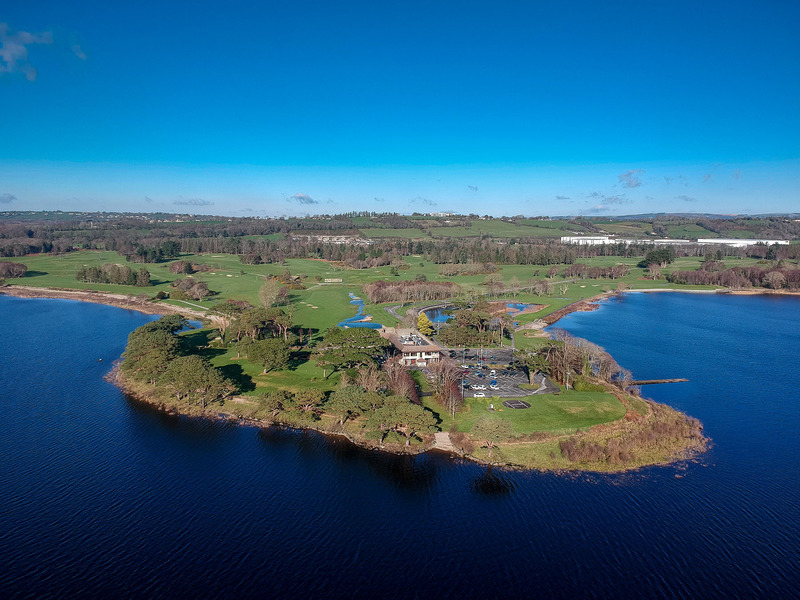 Fulacht fia in KilleenleighFulacht fia · 1296 yd
 Saint Bartholomew's WellSpring · 1327 yd
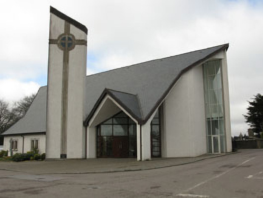 church/chapelchurch/chapel · 1393 yd
 monumentmonument · 1424 yd
 New TipperaryVisitor information · 1.6 mi
 Oldcastle WoodWood · 2.4 mi
 Ballyvodane Castle (in Ruins)Castle, unclassified · 3.6 mi
 Carrignamuck Tower HouseCastle · 3.7 mi
 Mullinhassig WoodWood · 4.7 mi
 Mullinhassig WaterfallWaterfall · 4.7 mi
 Knockduff Wind FarmVisitor information · 4.9 mi