What is recorded here
One of a group of six fulachtaí fia (LI013-229-/230/231/232/233/234----). Identified as fulacht fia 4 (Site F) by Noel Dunne during archaeological monitoring of a dual carriageway constructed as part of the Dell Factory Development, County Limerick. Excavated under license 98E0433 by Dunne (2000, 159), the results of which were summarised as following; ‘a rectangular trough measuring 2.4m x 1.4m and 0.35-0.4m deep dug into the subsoil. The presence of stake-holes indicated that it was originally timber-lined. The trough was surrounded by a burnt spread measuring 12m x 8.5m’ (www.excavations.ie 1999. No. 483).
See attached location map taken from excavation report
Compiled by: Martin Fitzpatrick
Date upload: 2 July 2020
The monument record does not grant public access. Check the route and ask the landowner before entering private land.
- What survives
- Recorded monument
Places near here
 Not shown.Excavation, miscellaneous · 301 yd
 ExcavationExcavation, miscellaneous · 373 yd
 RoadRoad, road/trackway · 399 yd
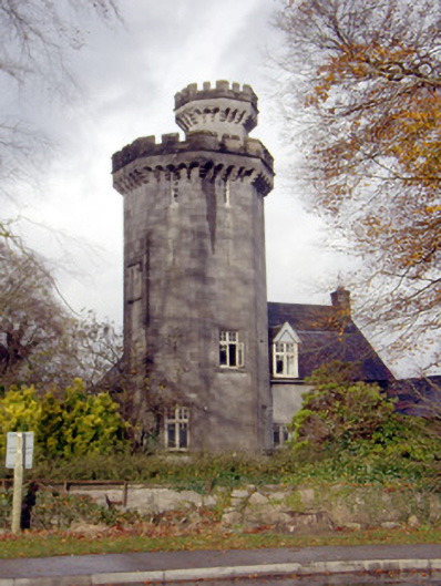 Roche Castlehouse · 677 yd
 Castle FieldCastle, unclassified · 1.5 mi
 CastleCastle, unclassified · 1.8 mi
 Sailors HaggardMemorial · 4.1 mi
 Fountain SculptureHeritage attraction · 5.4 mi
 Visitor CentreVisitor information · 5.5 mi
 Campus MapVisitor information · 5.5 mi
 Grass IslandIslet · 6.8 mi
 Maiden RockNamed rock · 7.0 mi