What is recorded here
Hachured, a fairy fort in County Limerick, is no longer visible because a piggery now occupies the land where a sixty-metre embanked ring once stood. The earth has been reordered for human use, yet the name still points to the hidden circle beneath the soil. What was marked on old surveys has vanished into ordinary pasture, leaving behind a boundary that can only be imagined.
In undulating pasture. Monument, depicted as embanked circular enclosure (diam. c. 60m) on 1923 OS 6-inch map, is no longer evident. Site is now occupied by a piggery.
Compiled by: Denis Power
Date of upload: 26 August 2011
The monument record does not grant public access. Check the route and ask the landowner before entering private land.
- What survives
- Recorded monument
Places near here
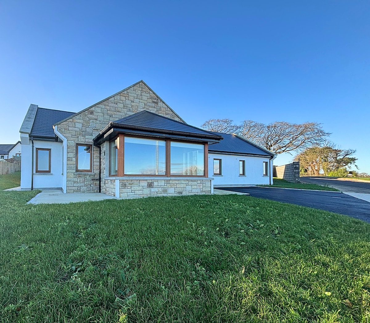 Enclosure in BallynagaulEnclosure · 437 yd
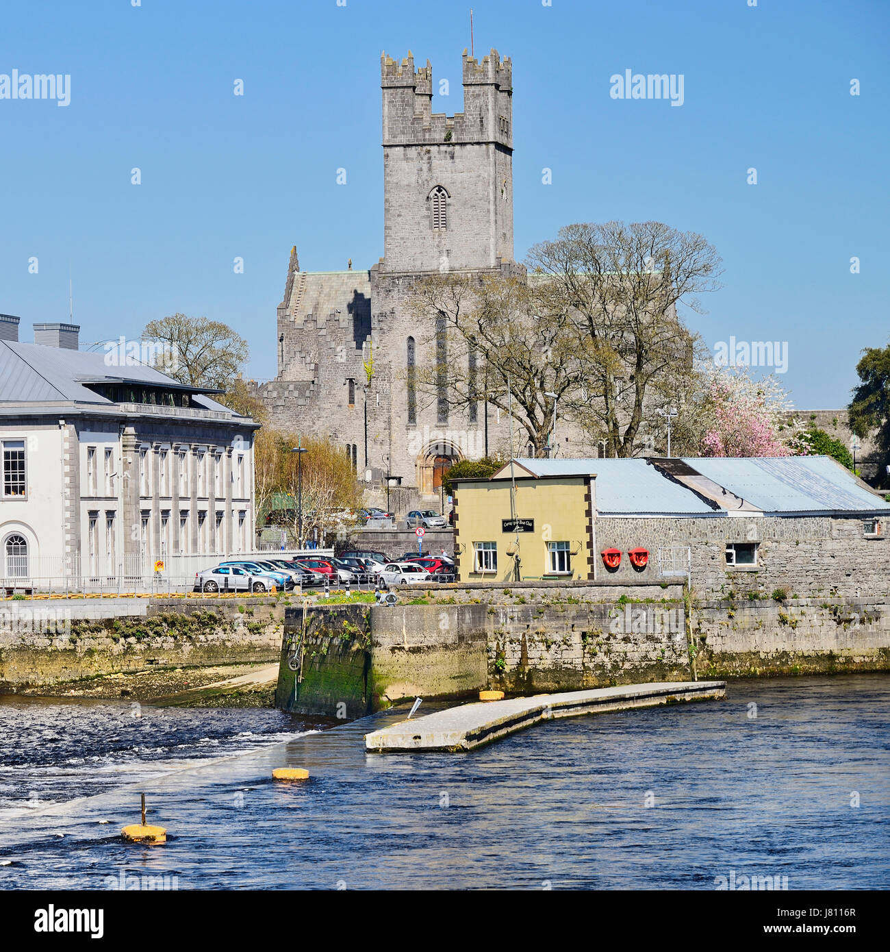 Lissagutta- HachuredFairy fort / earthen ringfort · 476 yd
 Fort Shannonhouse · 1261 yd
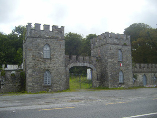 Glin Castlegate lodge · 1.2 mi
 Tarbet BayBay · 1.7 mi
 Tarmon Castle (in ruins)Castle, unclassified · 1.8 mi
 Bawn in Killacolla (barker)Bawn · 2.0 mi
 Mountshannon WoodWood · 3.6 mi
 Mountshannon PointHeadland · 3.9 mi
 Prospect HillMountain / peak · 4.2 mi
 TobercloonaghSpring · 4.4 mi
 Mountshannon EstateHeritage attraction · 4.8 mi