What is recorded here
On top of a natural rise in gently undulating terrain. The land falls more steeply to the E, while sloping gently to the S before rising again to another natural rise, and falls gently to N and W. There are fair to good views in all directions. In grass. An aerial photograph (GB90.BM.18, 14 July 1990) shows cropmark of a ring-ditch defined by two concentric fosses. There is no visible trace of the monument at ground level.
Compiled by: Jean Farrelly
Date of upload: 6 June 2017
This remains an important historical record, but the official description says the monument is no longer visible or has been destroyed. The monument record does not grant public access. Check the route and ask the landowner before entering private land.
- What survives
- No visible remains or recorded as destroyed
Places near here
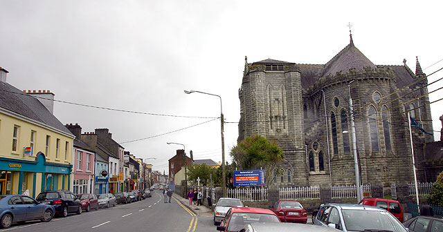 Ballyconra RingfortArchaeological place · 473 yd
 Anker's IslandIsland · 578 yd
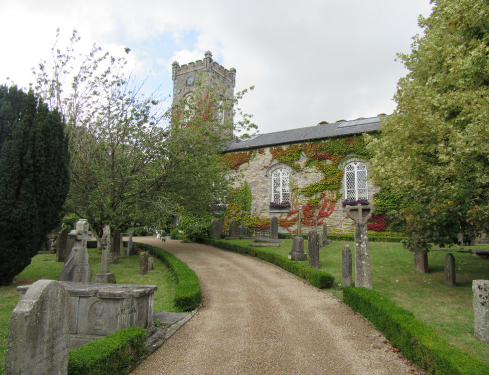 Church in BallyconraChurch · 579 yd
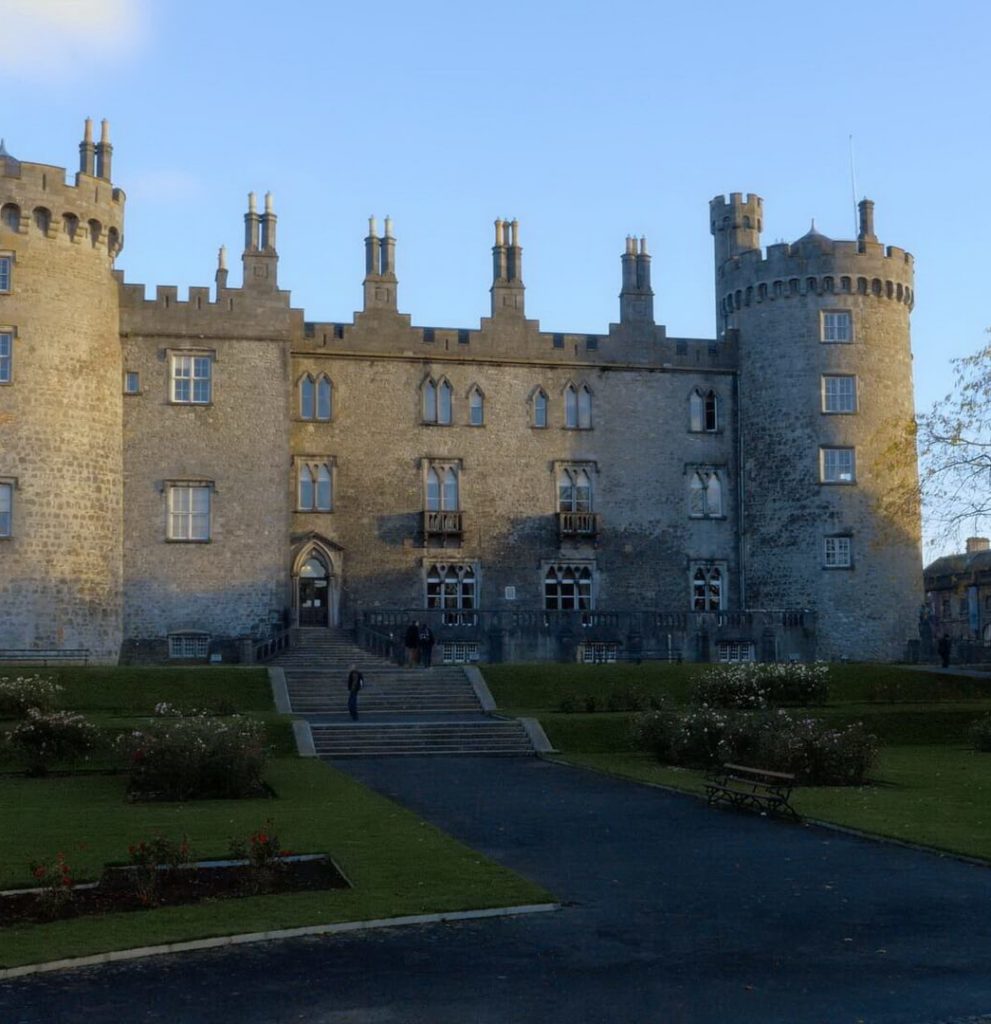 Enclosure in BallyconraEnclosure · 775 yd
 CastleCastle, motte · 829 yd
 Moat Castle (site of)Archaeological place · 1127 yd
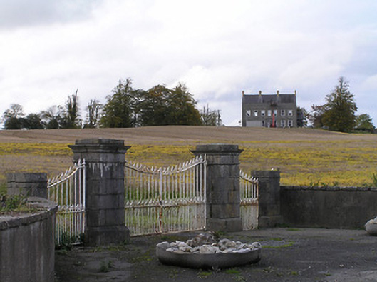 Ballyconra Housegates/railings/walls · 1331 yd
 Graveyard in SraleaghGraveyard · 1.5 mi
 Donaghmore WellSpring · 2.4 mi
 1798 MonumentMemorial · 5.0 mi
 Common LimeCommon Lime · 5.2 mi
 Street fieldArchaeological place · 6.8 mi