What is recorded here
Identified as a circular cropmark (diam. 20m) by Simon Dowling on Google Earth Pro (imagery date 28 June 2018). There is a large tree or scrub growing in the interior S of centre of the enclosure.
See attached Google Earth image taken 28 June 2018
Compiled by: Jean Farrelly
Date of upload: 23 October 2018
The monument record does not grant public access. Check the route and ask the landowner before entering private land.
- What survives
- Recorded monument
Places near here
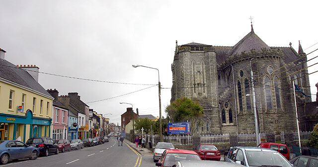 Ballyconra RingfortArchaeological place · 581 yd
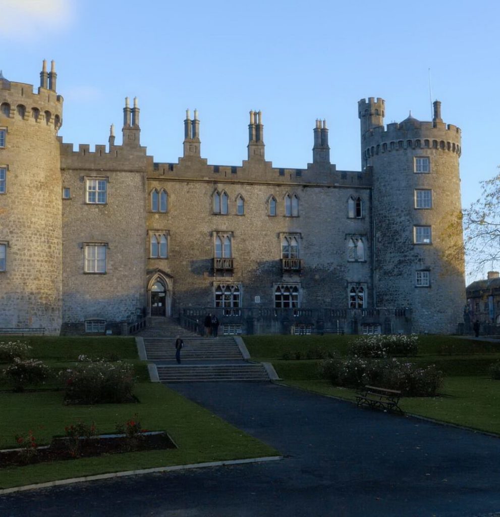 Enclosure in BallyconraEnclosure · 621 yd
 Anker's IslandIsland · 684 yd
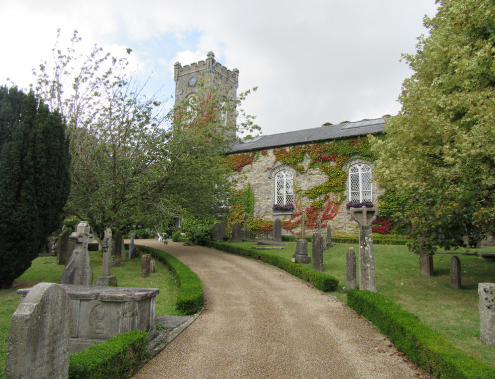 Church in BallyconraChurch · 687 yd
 CastleCastle, motte · 823 yd
 Moat Castle (site of)Archaeological place · 972 yd
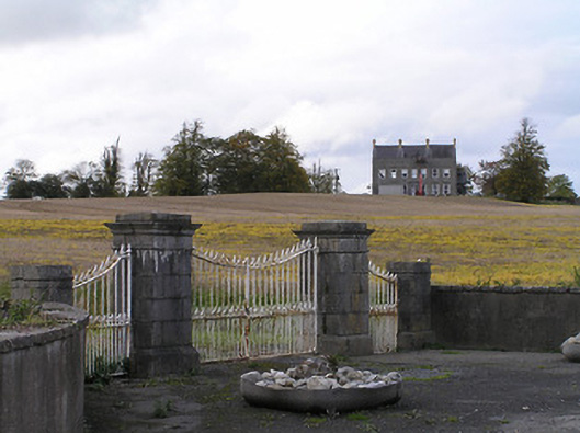 Ballyconra Housegates/railings/walls · 1252 yd
 Graveyard in SraleaghGraveyard · 1.5 mi
 Donaghmore WellSpring · 2.4 mi
 1798 MonumentMemorial · 5.0 mi
 Common LimeCommon Lime · 5.3 mi
 Street fieldArchaeological place · 6.9 mi