What is recorded here
The west half of the Galway burial ground holds a long, narrow grave thirty-four metres in length, four metres wide and one and three-quarter metres deep. Locals call it the famine grave, and the small stones beside it suggest children lay beneath the soil. The east half receives new deaths, while the west keeps the old hunger intact.
On the S side of an E-W running byroad. Marked the 1922 edition of the OS 6-inch map as a rectangular 'Burial Ground' (c. 50m E-W; c. 36m N-S). Modern graves occupy its E half. Within the W half there is a deep linear fosse running N-S (L 34m; Wth 4m; D 1.75m), which is known locally as ‘the famine grave’. A number of small headstones (average H 0.2m; Wth 0.3m; T 0.08m), aligned N-S and similar to those in a children's burial ground, are visible to the E of the fosse.
Compiled by: Galway Archaeological Survey, UCG
Date of upload: 17 January 2020
The monument record does not grant public access. Check the route and ask the landowner before entering private land.
- What survives
- Recorded monument
Places near here
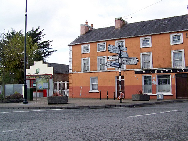 CrossCross · 345 yd
 Doansheedy FortFairy fort / earthen ringfort · 621 yd
 Dungory Castle (in ruins)Castle, tower house · 783 yd
 Dunguaire CastleCastle · 784 yd
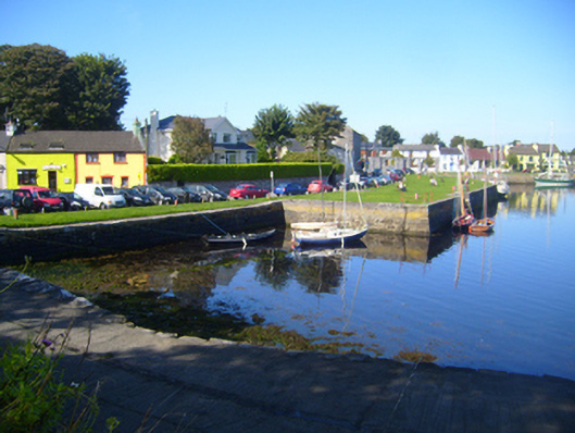 harbour/dock/portharbour/dock/port · 1495 yd
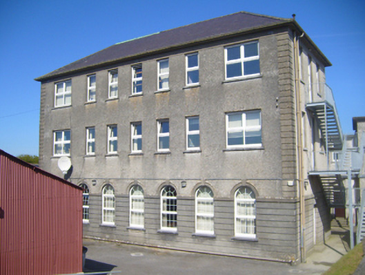 Seamount Collegehouse · 1496 yd
 Mulroney's IslandIslet · 1.1 mi
 Cusheen IslandIslet · 1.5 mi
 Traught BeachBeach / strand · 3.2 mi
 Drumharsna CastleHeritage attraction · 3.2 mi
 Drumacoo Monastic SiteHeritage attraction · 3.6 mi
 Mweenish PointHeadland · 4.4 mi