What is recorded here
The following description is derived from the published 'Archaeological Inventory of County Carlow' (Dublin: Stationery Office, 1993). In certain instances the entries have been revised and updated in the light of recent research.
Date of upload/revision: 17 July 2007
Marked on 1839 'OS 6-inch' map as circular enclosure. Aerial photograph (GSI S 22) shows circular cropmark suggesting raised platform without, or with only very shallow, enclosing fosse (est max. diam. c. 50m).
The monument record does not grant public access. Check the route and ask the landowner before entering private land.
- What survives
- Recorded monument
Places near here
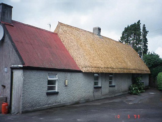 farm housefarm house · 832 yd
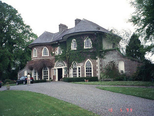 Erindalecountry house · 1186 yd
 EnclosureEnclosure, large enclosure · 1352 yd
 Enclosure in CloghnaEnclosure · 1664 yd
 Clogrenan CastleCastle, tower house · 1.3 mi
 Pedunculate OakPedunculate Oak · 1.6 mi
 CastleCastle, Anglo-Norman masonry castle · 1.7 mi
 Carlow CastleRuined medieval castle · 1.7 mi
 Carlow County MuseumMuseum · 1.8 mi
 Church (in ruins), GraveyardChurch · 2.0 mi
 Graveyard in ClonmelshGraveyard · 2.4 mi
 White willowWhite willow · 2.7 mi