What is recorded here
According to Barrington (1976, 288-9), this road appears to be the 'old route from the copper mines [KE106-128----] at Coad to the harbour at Derrynane'. This appears to have formed part of the route now known as the 'Kerry Way'. The construction date of this road has not been established.
Compiled by: Elizabeth Byrne, Ursula Egan and Sheila Ronan, Archaeological Survey Unit, University College, Cork.
Date of upload: 30 May 2011
The monument record does not grant public access. Check the route and ask the landowner before entering private land.
- What survives
- Recorded monument
Places near here
 IndicatedFairy fort / stone ringfort · 169 yd
 Enclosure in CaherdanielEnclosure · 221 yd
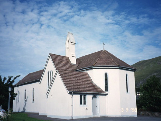 Saint Crohan's Catholic Churchchurch/chapel · 531 yd
 Ogham StoneVisitor information · 1395 yd
 Cahernageeha MountainMountain / peak · 1.1 mi
 Trá An Ráth / Rath BeachBeach / strand · 1.1 mi
 Derrynane House / Teach Dhoire FhionáinHeritage attraction · 1.2 mi
 Teach Dhoire Fhíonáin [Derrynane House]country house · 1.2 mi
 Páirc Náisiúnta Stairiúil Dhoire Fhíonáin / Derrynane National Historic ParkNature reserve · 1.2 mi
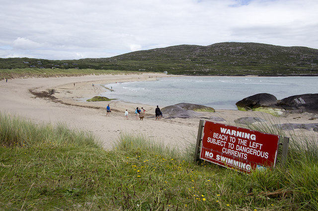 Derrynane Beach / Trá Doire FhíonáinBeach / strand · 1.3 mi
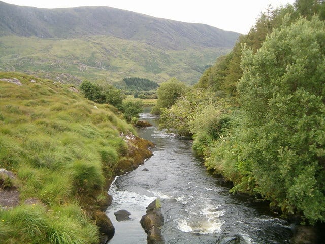 Eagle HillMountain / peak · 1.4 mi
 Lamb's IslandIslet · 2.0 mi