What is recorded here
Indicated is a circular earthen ringfort atop a Cork hill, its two-metre bank enclosing a pasture where an east-west path still cuts across the north. The shallow ditch fades only at the southeast and northwest, as if the fort rejected full completion or waited for someone to return through those gaps. A person may have walked that path for decades, knowing the land by heart and never naming the hole in the fence.
In pasture, atop hill. Circular area (51.6m N-S; 50.8m E-W) enclosed by earthen bank (H 2.1m); with shallow external fosse, except to SE and NW. Pathway running E-W crosses N half of interior.
The above description is derived from the published 'Archaeological Inventory of County Cork. Volume 1: West Cork' (Dublin: Stationery Office, 1992). In certain instances the entries have been revised and updated in the light of recent research.
Date of upload/revision: 14 January 2009
The monument record does not grant public access. Check the route and ask the landowner before entering private land.
- What survives
- Recorded monument
Places near here
 Courtmacsherry Bay ViewViewpoint · 574 yd
 Lislee (Site of)Fairy fort / earthen ringfort · 680 yd
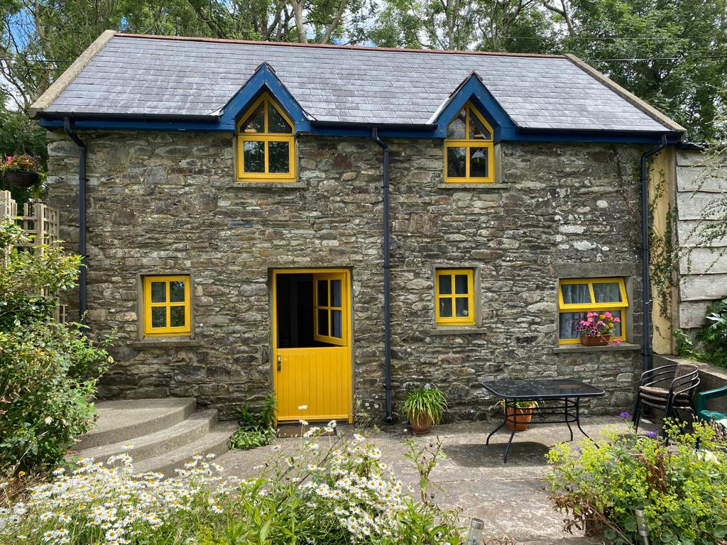 Enclosure in BallyhigeenEnclosure · 739 yd
 War MemorialMemorial · 1229 yd
 Lislee Houserectory/glebe/vicarage/curate's house · 1230 yd
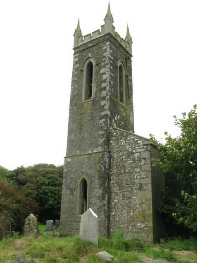 church/chapelchurch/chapel · 1314 yd
 Timoleague ViewViewpoint · 1340 yd
 RailwayMemorial · 1560 yd
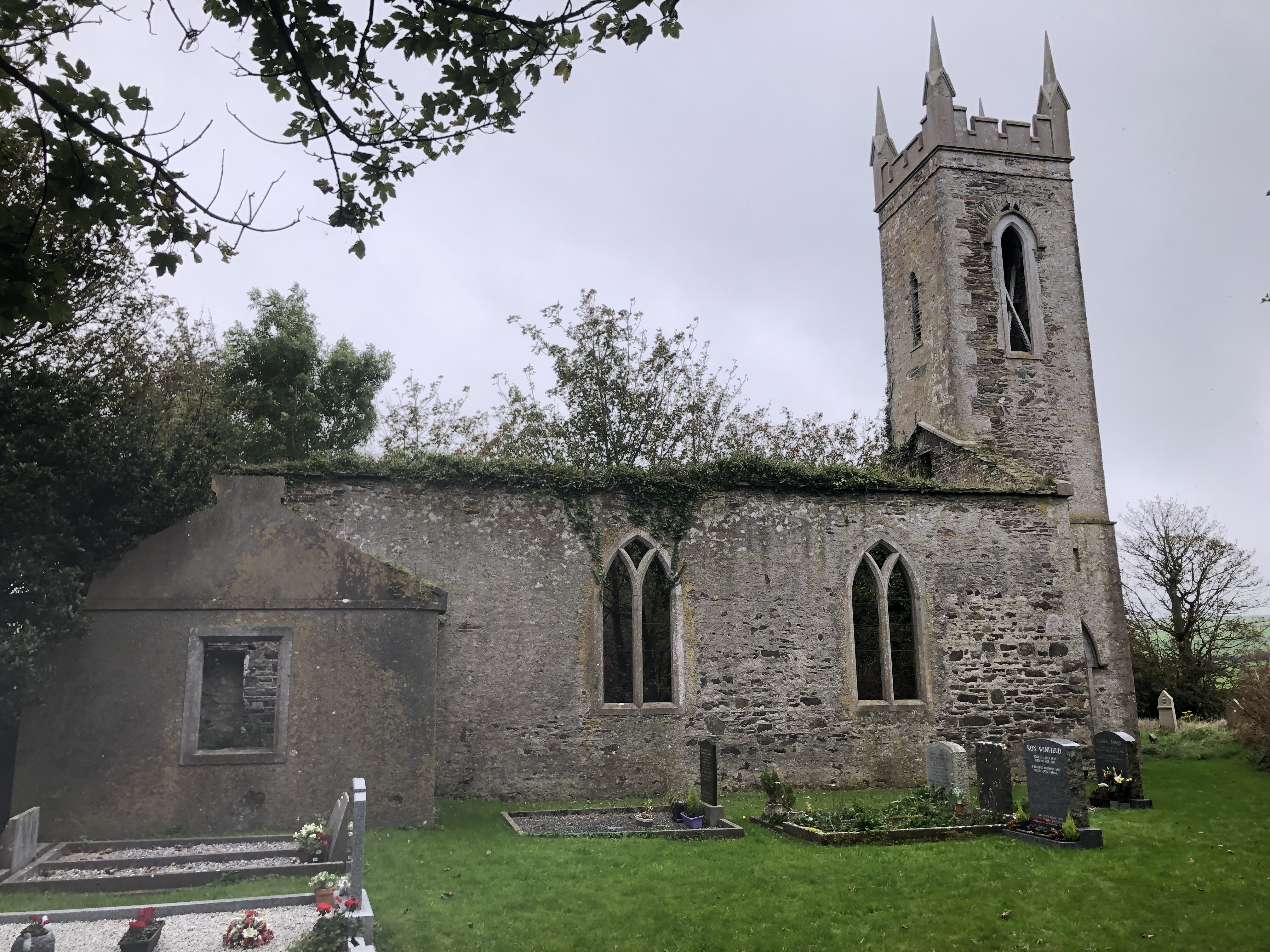 Lislee Court (Site of)Castle, unclassified · 1597 yd
 Lusitania ModelHeritage attraction · 1641 yd
 Anchor from Cardiff Hall ShipHeritage attraction · 1660 yd
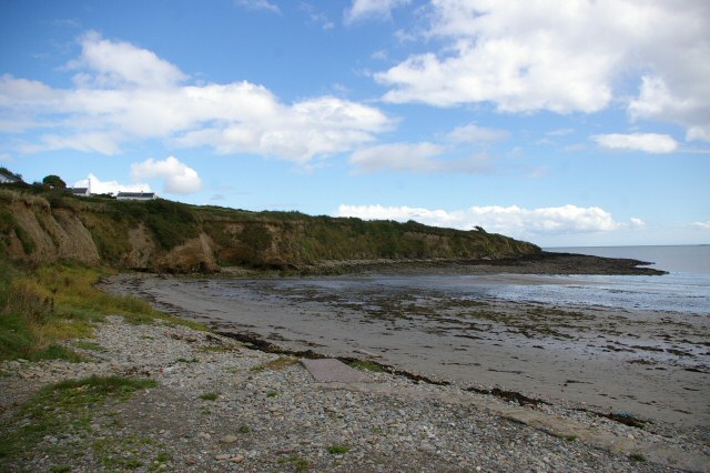 Broad StrandBeach / strand · 1714 yd