What is recorded here
Ballybrack still holds a 1.93m stone, thin as a door and twice as tall as a child. It stands in pasture, not on a hill or beside a road, as if someone set a marker where memory itself could be read. Men may have passed it for centuries, touching its edge or arguing about what it warned. The county catalogued it in 1983, but the stone does not belong to that date; it belongs to every person who stopped walking and admitted the land was speaking.
A standing stone 1.93m high × 0.92m wide × 0.29m thick. Situated on pasture land.
The above description was derived from the 'Archaeological Survey of County Donegal. A description of the field antiquities of the County from the Mesolithic Period to the 17th century.' Compiled by: Brian Lacey with Eamon Cody, Claire Cotter, Judy Cuppage, Noel Dunne, Vincent Hurley, Celie O'Rahilly, Paul Walsh and Seán Ó Nualláin (Lifford: Donegal County Council, 1983). In certain instances the entries have been revised and updated.
Date of upload: 22 September 2008
Likely dating to the Neolithic or Bronze Age, this standing stone may have served a ceremonial or territorial function. No specific folklore or inscriptions are recorded, and its wider significance remains unclear.
The monument record does not grant public access. Check the route and ask the landowner before entering private land.
- What survives
- Recorded monument
Places near here
 St. Mary's Catholic Churchchurch/chapel · 225 yd
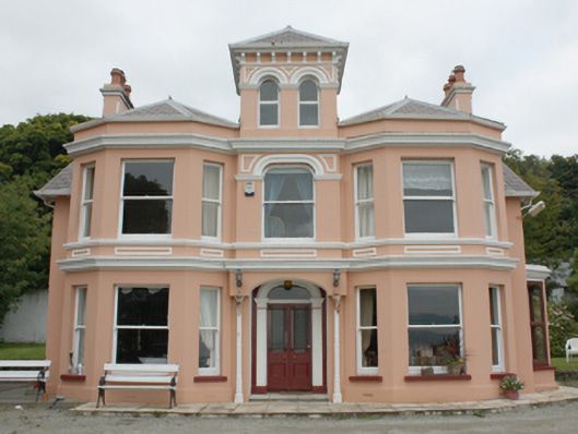 Glenburnie Househouse · 723 yd
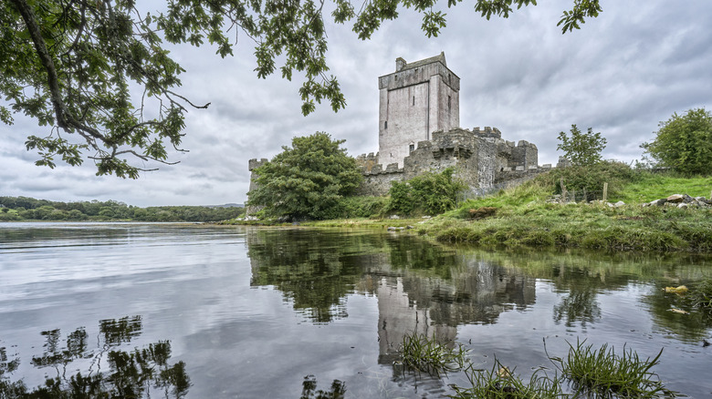 Carnagarve Fairy FortFairy fort / earthen ringfort · 754 yd
 Inishowen Maritime Museum and PlanetariumMuseum · 1479 yd
 Hillfort in CarnagarveHillfort · 1728 yd
 GreencastleCastle · 1.3 mi
 Greencastle / Northburgh CastleCastle, Anglo-Norman masonry castle · 1.3 mi
 CrockaulinMountain / peak · 1.5 mi
 Cooley CrossMemorial · 2.3 mi
 Sweet Nellie'sBeach / strand · 2.5 mi
 White StrandBeach / strand · 2.9 mi
 Dunagree PointHeadland · 3.7 mi