
What is recorded here
Knockounacappeen is a moated site in County Limerick, Ireland, where a broad external fosse and earthen bank still outline a rectangular chamber in level dry pasture. Westropp (1906-7, 228) identified it as possibly Ballymurely Castle, though he also placed that castle near Maryville. The raised rectangular area in the north-west corner suggests a building once stood inside the defences, while the scarped edges and surviving bank hint that the place was made to be seen, entered and defended.
In level dry pasture. Roughly rectangular area (c. 40m N-S; c. 40m E-W) defined by an earthen bank (int. H 0.3m; ext. H 3m) WNW->N and E->SSE; scarped edge N->E. External fosse (Base Wth. c. 8.00m; D 1.5m) WNW->SSE with traces visible SSE->SSW. Raised rectangular area (8m N-S; 20m E-W) defined by a scarped against inner side of earthen bank in NW corner of interior. Westropp (1906-7, 228) identifies this as possibly site of Ballymurely Castle, though also locates same castle in Maryville (LI037-094---) c. 3.5 km to S.
Compiled by: Denis Power
Date of upload: 26 August 2011
The monument record does not grant public access. Check the route and ask the landowner before entering private land.
- What survives
- Recorded monument
Places near here
 Mound in BallybegganeMound · 62 yd
 St Patricks WellHoly well · 1406 yd
 Cloncagh Church (in ruins)Church · 1496 yd
 Lady's WellSpring · 1520 yd
 Sunday WellSpring · 1520 yd
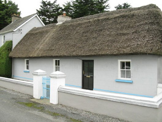 farm house, housefarm house, house · 1685 yd
 Ballynoe Castle (in ruins)Castle, tower house · 2.3 mi
 Hachured (1923).Castle, motte · 2.5 mi
 European ashEuropean ash · 3.4 mi
 Famine stoneMemorial · 3.6 mi
 KnockfeerinaMountain / peak · 4.2 mi
 Ballagh MountainMountain / peak · 9.6 mi
Other information
Photo: Credit not shown in the picture search · Rights wording not checked; contact us if this picture should be removed