What is recorded here
Eighteen metres of blackened stone and nine water troughs waited beside a small Carlow stream, built for heat and washed clean by running water. People may have stood there in rain, pouring boiling water over marrow, meat or wool until the steam rose white and the air smelled of wet earth. The road took the mound before it could speak further, but the shape remains clear enough to imagine the labour it cost and the hunger it fed.
Partially excavated in advance of construction of the N9/N10 Kilcullen-Waterford Road (Excavation Licence number E2618, area a). One of three fulacht fia (see also CW012-154----and CW012-155----) excavated under the same licence. Adjacent to a small stream, a large, irregularly shaped burnt mound (L 18m; Wth 8m) was uncovered together with nine trough-type features, three of which were connected with sluice channels, and connected to a curvilinear ditch. Leather, worked antler, iron objects, medieval pottery and a wooden composite shovel were recovered. (Hackett, L. 2009, 38)
Reference:
Hackett, L. (2009) 'Ballybar Lower Burnt mounds, prehistoric activity' in I. Bennett (ed.), Excavations 2006: summary accounts of archaeological excavations in Ireland, 38 (155). Bray. Wordwell
Compiled by: Claire Breen
Date of upload: 10 November 2010
The monument record does not grant public access. Check the route and ask the landowner before entering private land.
- What survives
- Recorded monument
Places near here
 Enclosure in BallybannonEnclosure · 615 yd
 Enclosure in ClonmelshEnclosure · 850 yd
 Graveyard in ClonmelshGraveyard · 1068 yd
 Strong Stream Millmill (water) · 1.4 mi
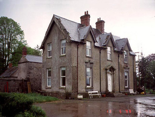 Garryhundon Househouse · 1.4 mi
 Clogrenan CastleCastle, tower house · 2.2 mi
 Graveyard in Tomard Lower (3 Detached Portions)Graveyard · 2.4 mi
 Common LimeCommon Lime · 2.9 mi
 Graiguealug Castle in ruinsCastle, unclassified · 3.0 mi
 Pedunculate OakPedunculate Oak · 3.5 mi
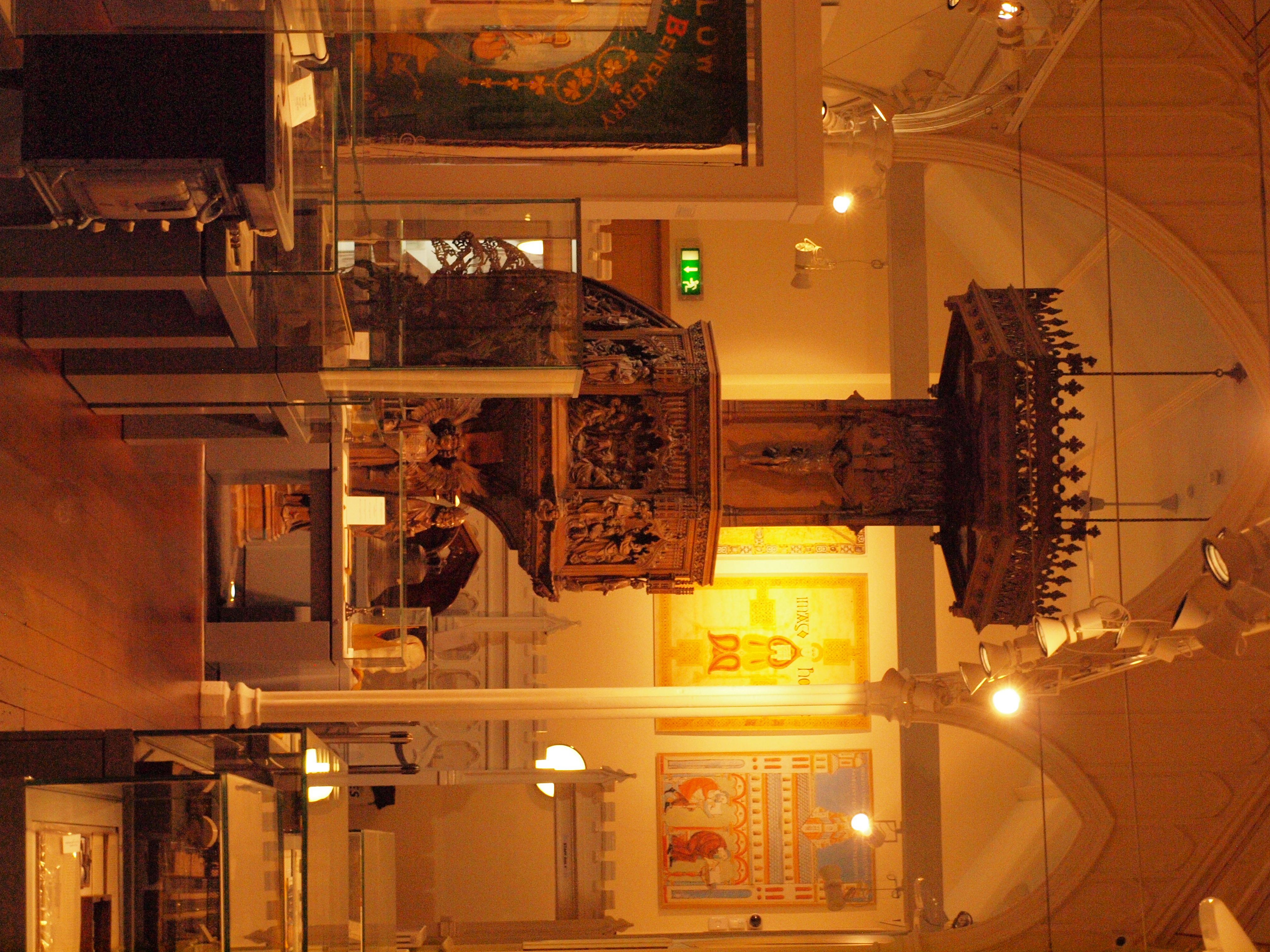 Carlow County MuseumMuseum · 3.6 mi
 Carlow CastleRuined medieval castle · 3.6 mi