What is recorded here
Indicated is a circular fairy fort in County Cork, Ireland, measuring twenty-one metres east-west and twenty-four metres north-south. A one-metre-high bank rises along the northwest edge while a shallow ditch cuts across the west, marking the boundary of this small enclosed world. The earthwork remains partially overgrown, suggesting the site has resisted full capture by modern measurement. Its precise shape and surviving stone facing hint that people once valued the clarity of its edges enough to build them.
Circular area (21m E-W; 24m N-S) defined by scarp E->S; bank (max. H 1.6m) SW->N; remains of external fosse (Wth 3m; D 0.85m) to W. Some stone facing on internal face of bank to W. Partially partially overgrown.
The above description is derived from the published 'Archaeological Inventory of County Cork. Volume 1: West Cork' (Dublin: Stationery Office, 1992). In certain instances the entries have been revised and updated in the light of recent research.
Date of upload/revision: 14 January 2009
The monument record does not grant public access. Check the route and ask the landowner before entering private land.
- What survives
- Recorded monument
Places near here
 Kill B Gd (Childrens) (Disused)Burial ground · 598 yd
 Kill Burial Gd (Children) (Disused)Radial-stone enclosure · 841 yd
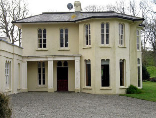 Lough Ine Househunting/fishing lodge · 1235 yd
 Wild Atlantic Way:Lough HyneVisitor information · 1575 yd
 Trá na BóBeach / strand · 1577 yd
 ClochánCastle · 1577 yd
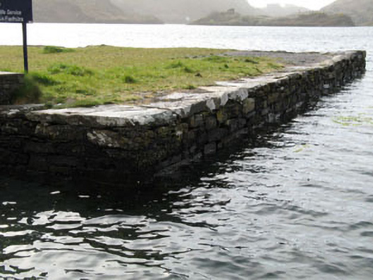 quay/wharfquay/wharf · 1581 yd
 TralispeanBeach / strand · 1659 yd
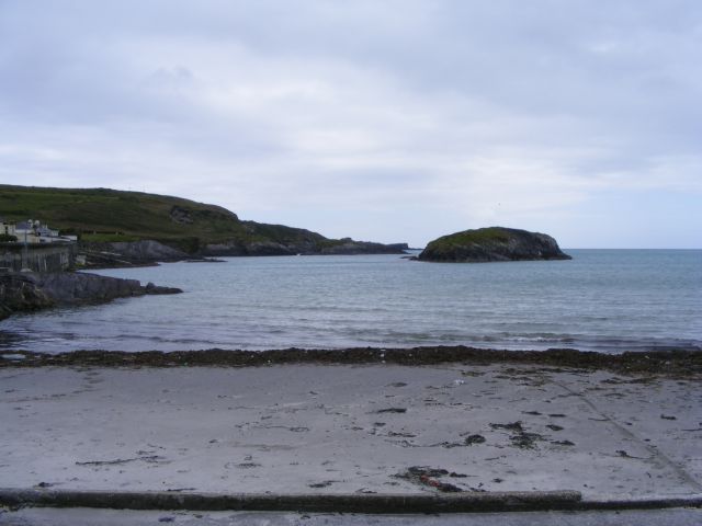 Drishane IslandIslet · 1.1 mi
 Bullock IslandIslet · 1.2 mi
 KnockomaghMountain / peak · 1.3 mi
 Walk 5 - Lough Hyne (7km)Walking route · 1.4 mi