What is recorded here
Grave Yard in County Carlow, Ireland holds a trapezoidal plot where a central church still anchors the dead. Broken quoins and a moulded granite window jamb mark graves or brace the southwest stile, proving the place reused its own ruins. The road curves past the boundary like a forgotten circular enclosure, suggesting the living once walked a wider path around the buried.
Trapezoidal in shape (map dims. c. 28m N-S at the E end and c. 58m N-S at W end and c. 75m E-W). Church (CW013-070001-) roughly centrally placed. Several quoins and a granite moulded window jamb are in use as grave markers; window jamb incorporated in stile at SW corner of graveyard (CW013-070002-). Distinct curve in road, suggesting former circular enclosure.
Compiled by: Claire Breen
Date of upload: 19 August 2011
The monument record does not grant public access. Check the route and ask the landowner before entering private land.
- What survives
- Recorded monument
Places near here
 Church (in ruins), GraveyardChurch · 11 yd
 Catholic Church of Saint Peter and Saint Paulchurch/chapel · 70 yd
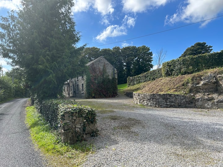 No indicatedEnclosure · 255 yd
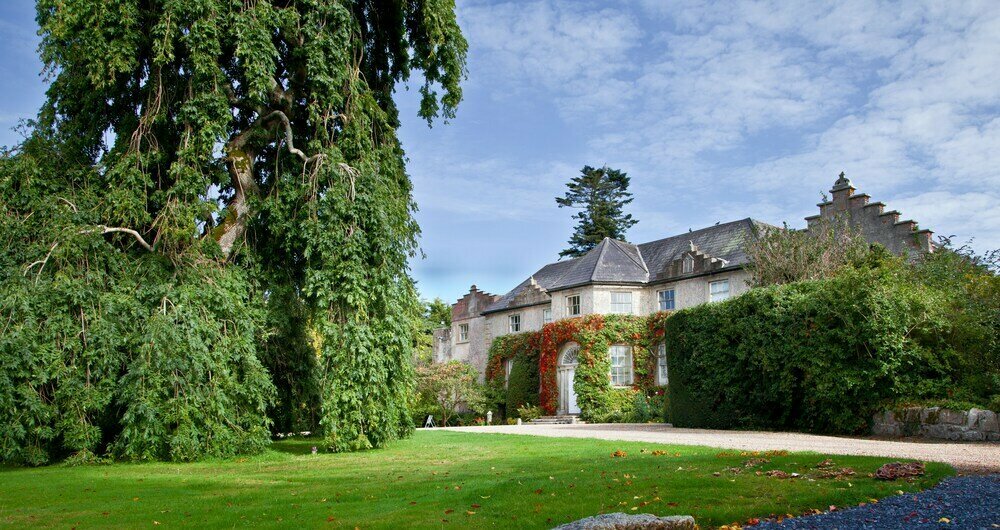 Enclosure in BallonEnclosure · 523 yd
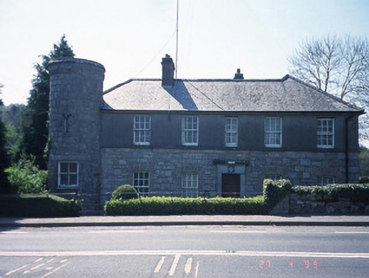 Ballon Garda Síochána StationRIC barracks · 562 yd
 Castlegrace MoatCastle, motte · 1.5 mi
 Altamont Gardens MapVisitor information · 2.2 mi
 Scots PineScots Pine · 2.2 mi
 Altamont House and GardensHeritage attraction · 2.3 mi
 English hollyEnglish holly · 2.9 mi
 Ballynunnery Castle in ruinsCastle, unclassified · 3.4 mi
 Kilmurry Church (in ruins), GraveyardChurch · 3.5 mi