What is recorded here
Enclosure in Ballon is a 60-metre stone circle in County Carlow where old rath stones still stand edge-to-edge, resisting shovels and forgetfulness alike. Graves wrote in 1852 that digging there proved brutal because great blocks fitted close together, suggesting the site was made to keep out as much as keep in. The Ballon Hill Archaeology Project later traced that same resistance across the land, moving the marker from doubt to the clear ring visible above. Under footpath soil and satellite light, the enclosure remains a chamber built by human hands, waiting for someone strong enough to hear what its stones repeat.
Described by Graves (JRSAI 1852-3, 297) in his article on the Ballon Hill cemetery (CW013-065----) as follow: 'The site of the old rath … here digging proved most difficult, as it was paved with great blocks of stone, set on end, and fitting close together'.
Research carried out by Ballon Hill Archaeology Project identified an enclosure (diam. c. 60m) on Bing Maps (http://www.bing.com) (pers. comm. Nial O'Neill), probably the same monument described by Graves. This enclosure is c. 100m NNE of the location identified on the 1995 RMP map. A review of the SMR file suggests there was not sufficient evidence for the location assigned on the 1995 RMP map, hence the location of this monument has been moved to the centre point of the enclosure visible on Bing Maps.
The above description is derived from the published 'Archaeological Inventory of County Carlow' (Dublin: Stationery Office, 1993). In certain instances the entries have been revised and updated in the light of recent research.
Date of revision: 13 March 2013
Revised by: Claire Breen
The monument record does not grant public access. Check the route and ask the landowner before entering private land.
- What survives
- Recorded monument
Places near here
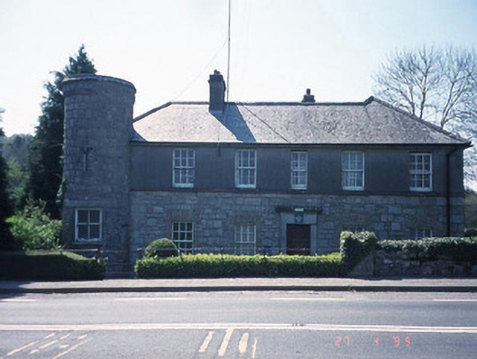 Ballon Garda Síochána StationRIC barracks · 476 yd
 Church (in ruins), GraveyardChurch · 531 yd
 Catholic Church of Saint Peter and Saint Paulchurch/chapel · 578 yd
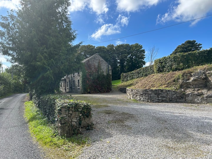 No indicatedEnclosure · 753 yd
 Enclosure in BallykealeyEnclosure · 881 yd
 Castlegrace MoatCastle, motte · 1.5 mi
 Altamont Gardens MapVisitor information · 2.4 mi
 Scots PineScots Pine · 2.4 mi
 Altamont House and GardensHeritage attraction · 2.5 mi
 English hollyEnglish holly · 3.1 mi
 Ballynunnery Castle in ruinsCastle, unclassified · 3.1 mi
 Kilmurry Church (in ruins), GraveyardChurch · 3.2 mi
Other information
Photo: Credit not shown in the picture search · Rights wording not checked; contact us if this picture should be removed