What is recorded here
Indicated was a circular fairy fort in County Cork, measured forty-two metres across on the 1842 map before ploughing erased most of its shape. It likely served as a human home or boundary marker, yet local tradition still claims it for fairy dance. The southern platform rises one and a half metres above the tillage, preserving the ghost of a wall that once excluded everyone but its owners.
In tillage. Shown on 1842 OS 6-inch map as circular enclosure (diam. c. 42m); as slight curve in NNE-SSW field fence on 1902 OS 6-inch map. Levelled c. 1974; raised platform remains, most noticeable to S (H 1.8m).
The above description is derived from the published 'Archaeological Inventory of County Cork. Volume 2: East and South Cork' (Dublin: Stationery Office, 1994). In certain instances the entries have been revised and updated in the light of recent research.
Date of upload/revision: 14 January 2009
The monument record does not grant public access. Check the route and ask the landowner before entering private land.
- What survives
- Recorded monument
Places near here
 Courcey's Gleberectory/glebe/vicarage/curate's house · 1.2 mi
 Garrylucas EastSettlement cluster · 1.2 mi
 The Moving StatueHeritage attraction · 1.3 mi
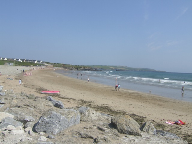 Garretstown StrandBeach / strand · 1.4 mi
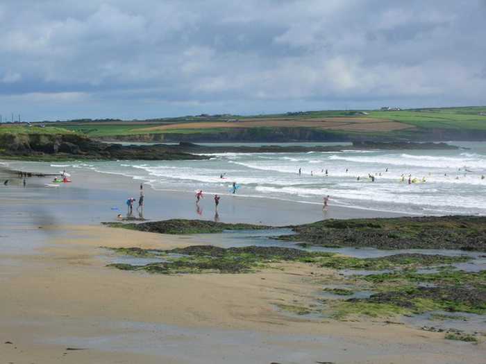 Garrylucas, White StrandBeach / strand · 1.5 mi
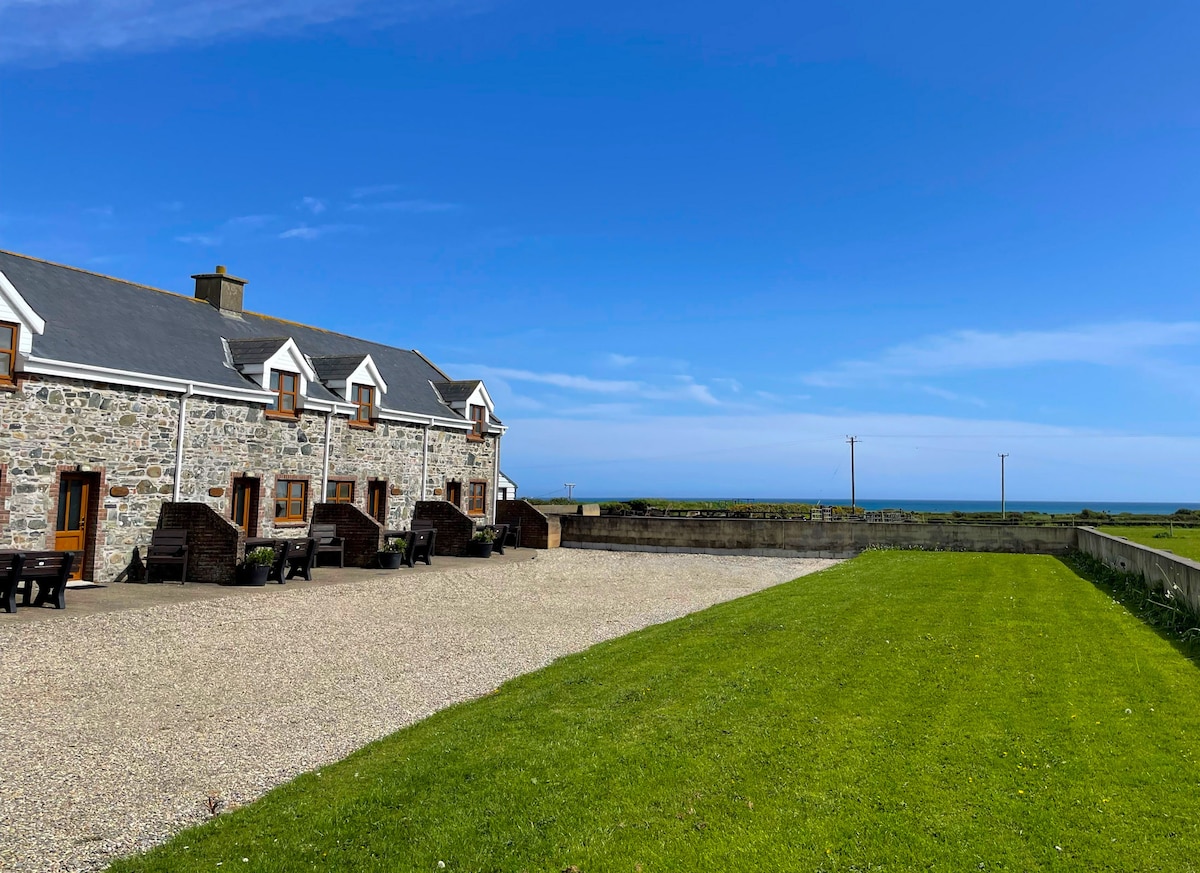 Kilmore WoodWood · 1.5 mi
 Courtaparteen Famine VillageWood · 1.6 mi
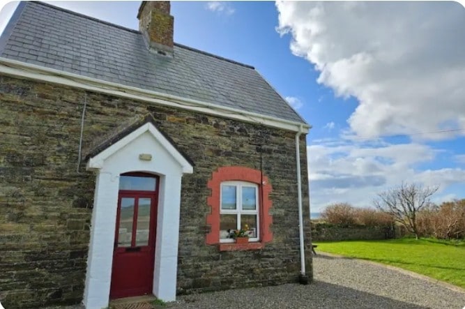 Fulacht fia in Lispatrick LowerFulacht fia · 1.6 mi
 school master's houseschool master's house · 1.6 mi
 Ringfinnan 9/11 Garden of RemembranceMemorial · 2.1 mi
 Sandy Cove IslandIslet · 2.2 mi
 Ringrone CastleCastle · 2.5 mi