What is recorded here
Situated on a steep NW-facing slope of Patrickstown Hill on the N side of Slieve na Calligh ridge, and c. 65m E of cashel (ME009-069----). This upright stone (H c. 1.5m) is aligned roughly E-W.
The above description is derived from the published 'Archaeological Inventory of County Meath' (Dublin: Stationery Office, 1987). In certain instances the entries have been revised and updated in the light of recent research.
Compiled by: Michael Moore
Date of revision: 1 November 2018
Likely dating to the Bronze Age, this standing stone may have had ritual or territorial significance, possibly linked to the nearby cashel. Its alignment and location suggest a connection to landscape features or celestial events, though specific folklore or use remains unrecorded.
The monument record does not grant public access. Check the route and ask the landowner before entering private land.
- What survives
- Recorded monument
Places near here
 Indicated SheepfoldFairy fort / stone ringfort · 88 yd
 Enclosure in Balrath (fore By.)Enclosure · 829 yd
 Loughcrew Megalithic TombsHeritage attraction · 872 yd
 Slieve Na CalliaghMountain / peak · 874 yd
 Oliver Plunkett memorialMemorial · 1183 yd
 Earthen TumulusCastle, motte · 1582 yd
 LoughcrewMegalithic tomb cemetery · 1.2 mi
 Carnbane WestMountain / peak · 1.4 mi
 C11Named rock · 1.4 mi
 Drumlerry WetlandForest · 1.4 mi
 CastleCastle, unclassified · 1.4 mi
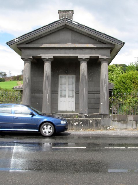 Loughcrew Housegate lodge · 1.8 mi