
What is recorded here
Located on a SE-facing slope of Slieve na Calliagh. This is a slightly raised D-shaped and grass-covered area (dims c. 24m NW-SE; 22m NE-SW) with straight sides at NW and NE defined by what is probably a slight bank and outer fosse or drain. It is overlain by NE-SW cultivation ridges but NW-SE ridges to the SE stop at the SE edge of the enclosure. It is visible on Google Earth (05/10/2009; 24/03/2017; 17/01/2020) and was first reported by Jean Charles Caillere.
See the attached enhanced view from Google Earth (2020)
Compiled by: Michael Moore
Date of upload: 4 June 2020
The monument record does not grant public access. Check the route and ask the landowner before entering private land.
- What survives
- Recorded monument
Places near here
 Slieve Na CalliaghMountain / peak · 436 yd
 Cairn VArchaeological place · 491 yd
 Loughcrew Megalithic TombsHeritage attraction · 526 yd
 Hag's ChairArchaeological place · 563 yd
 LoughcrewMegalithic tomb cemetery · 1653 yd
 Oliver Plunkett memorialMemorial · 1688 yd
 Earthen TumulusCastle, motte · 1711 yd
 Carnbane WestMountain / peak · 1.1 mi
 C11Named rock · 1.2 mi
 CastleCastle, unclassified · 1.5 mi
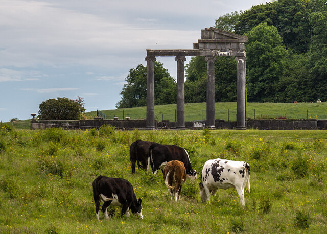 Loughcrew House porticoRuins · 1.5 mi
 Common LimeCommon Lime · 1.7 mi
Other information
Photo: Credit not shown in the picture search · Rights wording not checked; contact us if this picture should be removed