What is recorded here
Deerpark is a deer park in Ballintue, Deerpark (moygoish By.), County Westmeath, Ireland. The surviving structure is an earthwork complex of linear earthworks forming small rectangular enclosures, which are clearly visible on aerial photographs taken by Cambridge University in 1966. These features are contained within one large field of approximately 725 metres north-south by 850 metres north-west to south-east, which forms the townland as depicted on the 1837 edition Ordnance Survey six-inch map. A distinctive detail is that the 1837 map depicts a large tree plantation in the centre of the park with a walled garden on the north-west side of this woodland.
An earthwork complex consisting of a series of linear earthworks forming small rectangular enclosures and other features are clearly visible on aerial photographs taken by Cambridge University in 1966 (CUCAP APG090-098). These earthworks are contained within one large field (approx. dims. 725m N-S x 850m NW-SE) which form the townland of Deerpark as depicted on the 1837 ed. OS 6-inch map. The earthworks visible on the aerial photographs appear to be associated with this deerpark the dating of which is uncertain. On the 1837 ed. OS 6-inch map a large tree plantation is depicted in the centre of the park with walled garden on the NW side of this woodland. A series of pathways running through the woodland are visible on the 1837 ed. OS 6-inch map. Possible medieval deerpark associated with Ballintue Castle (WM010-019----) located 180m to the NW or with Ballintue Castle (WM010-040001-) and deserted medieval settlement (WM010-040----) located 200m to the S.
Compiled by: Caimin O'Brien
Date of upload: 16 June 2017
The monument record does not grant public access. Check the route and ask the landowner before entering private land.
- What survives
- Recorded monument
Places near here
 Man-made underground passage in Deerpark (moygoish By.)Man-made underground passage · 396 yd
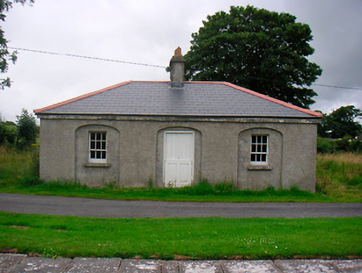 35th Locklock keeper's house · 592 yd
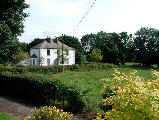 presbytery/parochial/curate's housepresbytery/parochial/curate's house · 607 yd
 Font (present location) in BallynacarrigyFont (present location) · 615 yd
 CastleCastle, unclassified · 679 yd
 Site of CastleCastle, unclassified · 711 yd
 Baronstown ForestWood · 2.0 mi
 Horse-chestnutHorse-chestnut · 2.0 mi
 Abbeyshrule AbbeyRuins · 5.0 mi
 Newcastle WoodsForest · 7.7 mi
 Noughaval CemeteryArchaeological place · 11 mi
 National Famine WayWalking route · 11 mi