What is recorded here
Fairy fort / earthen ringfort in Ballinriddera is a fairy fort or earthen ringfort in Ballinriddera, County Westmeath, Ireland. The 1837 edition of the six-inch Ordnance Survey map depicts it as a circular shaped enclosure located forty-five metres south of the townland boundary with Ballinphort. The monument is levelled with no surface remains visible, yet a cropmark of the ringfort is clearly visible on a Digital Globe aerial photograph taken in November 2011. It sits one hundred and ten metres south of a ringfort and seventy-five metres north-west of another.
Depicted on the 1837 ed. OS 6-inch map as a circular shaped enclosure 45m S of townland boundary with Ballinphort. Ringfort (WM007-071----) 110m to N. Ringfort (WM007-079----) 75m to SE. No surface remains visible of levelled monument. Cropmark of levelled ringfort clearly visible on Digital Globe aerial photograph taken November 2011.
Compiled by: Frank Coyne and Caimin O'Brien
Date of upload: 15 April 2017
The monument record does not grant public access. Check the route and ask the landowner before entering private land.
- What survives
- Recorded monument
Places near here
 Enclosure in BallinridderaEnclosure · 138 yd
 Hachured, RathbrackFairy fort / earthen ringfort · 728 yd
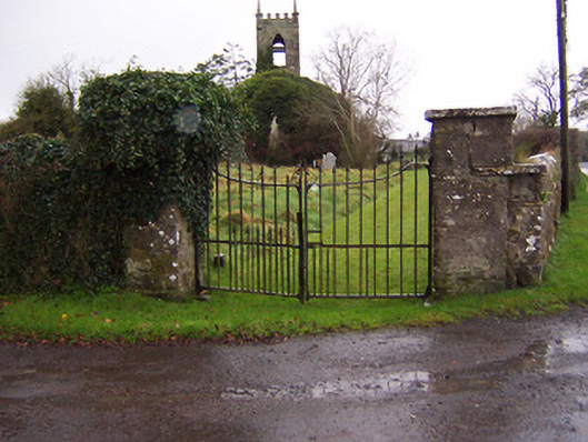 Church of Saint John the Baptist (Stonehall)church/chapel · 1561 yd
 Stonehallhouse · 1672 yd
 Partially indicatedCastle, motte · 1.3 mi
 Bridge Memorial (Kenna)Memorial · 1.4 mi
 Mortimer's CastleArchaeological place · 1.5 mi
 KnockeyonMountain / peak · 2.5 mi
 Scragh Bog Nature ReserveNature reserve · 3.4 mi
 European BeechEuropean Beech · 4.0 mi
 Church IslandIsland · 4.2 mi
 Carrickphilbin IslandIslet · 4.8 mi