What is recorded here
Situated at the base of NE facing slope of high hill in pasture-land. Ringfort (WM007-078----) 105m to SSE. Ringfort (WM007-079---) 195m SSE. This has been almost completely levelled. Annotated on the 1837 OS Fair Plan as ‘fort’, and depicted on the 1837 ed. OS 6-inch maps as a circular-shaped enclosure. This is a sub-circular area (approx. dims 19m NE-SW; 20m NW-SE) enclosed by a very poorly preserved earthen bank (H 0.35m) and a very slight external fosse (Wth 7m). The interior slopes from SW-NE. Cropmark of levelled monument visible on the Digital Globe aerial photograph taken November 2011.
Compiled by: Frank Coyne and Caimin O'Brien
Date of upload: 15 April 2017
The monument record does not grant public access. Check the route and ask the landowner before entering private land.
- What survives
- Recorded monument
Places near here
 Enclosure in BallinridderaEnclosure · 274 yd
 Hachured, RathbrackFairy fort / earthen ringfort · 727 yd
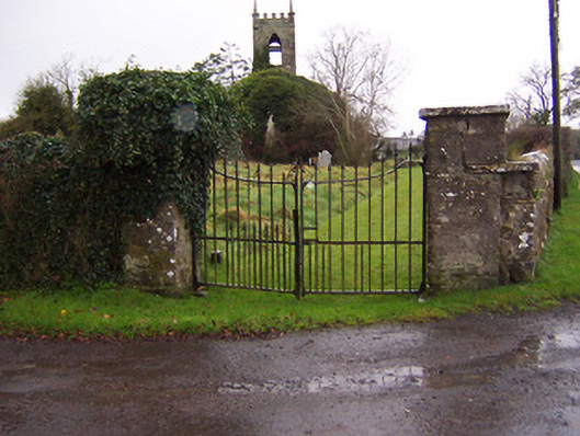 Church of Saint John the Baptist (Stonehall)church/chapel · 1700 yd
 Stonehallhouse · 1.0 mi
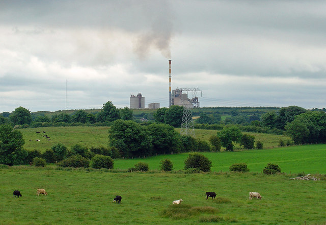 Partially indicatedCastle, motte · 1.4 mi
 Mortimer's CastleArchaeological place · 1.4 mi
 Bridge Memorial (Kenna)Memorial · 1.5 mi
 KnockeyonMountain / peak · 2.5 mi
 Scragh Bog Nature ReserveNature reserve · 3.5 mi
 European BeechEuropean Beech · 3.9 mi
 Church IslandIsland · 4.3 mi
 Carrickphilbin IslandIslet · 4.9 mi