What is recorded here
Fairy fort / earthen ringfort in Ballinlug is a fairy fort or earthen ringfort in Ballinlug, County Westmeath, Ireland. The 1970 survey described the partially levelled remains of an oval-shaped area, measuring approximately 47 metres from northeast to southwest and 32 metres from northwest to southeast, which was enclosed by a substantial bank but had no visible trace of an external fosse. A gap at the north and east-southeast may represent an entrance, while a gently curving bank of earth and stones running roughly north to south divides the interior into two sections.
Situated on a slight rise, in relatively low-lying pasture, with stream to NW, N and NE, townland boundary immediately to SSW. Enclosure (WM018-089005-) lies immediately to SE. Depicted on the 1837 ed. OS 6-inch map as an oval-shaped enclosure with square-shaped enclosure (WM018-089005-) immediately to SE . Annotated 'fort' on the 1837 OS Fair Plan map. Depicted on the revised 1913 ed. OS 25-inch map as a modified penannular-shaped earthwork, which is open to E.
Partially levelled ringfort described in 1970 as the partially levelled remains of an oval-shaped area (approx. dims. 47m NE-SW; 32m NW-SE) enclosed by a substantial bank from SW-W-N-E and levelled from E-S-SW. The bank has several slight disturbance gaps and is denuded to the level of the interior in places. A gap at N and ESE may represent an entrance. There is no visible trace of an external fosse. The interior is divided in two by a gently curving bank of earth and stones running roughly N-S. In the western quadrant are two V-shaped depressions which may represent a Man-made underground passage (WM018-089003-). These have low mounds of up-cast beside them. A house site (WM018-089002-) is visible to the immediate W of the possible Man-made underground passage. Outline of partially levelled ringfort visible as a roughly oval-shaped earthwork on Digital Globe aerial photography.
See attached plan of monument surveyed and drawn by the ASI
Compiled by: Alison McQueen, Vera Rahilly and Caimin O’Brien
Date of upload: 05 February 2019
This remains an important historical record, but the official description says the monument is no longer visible or has been destroyed. The monument record does not grant public access. Check the route and ask the landowner before entering private land.
- What survives
- No visible remains or recorded as destroyed
Places near here
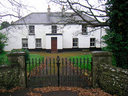 Ballyglass Househouse · 288 yd
 Mweeleen MoatArchaeological place · 338 yd
 Megalithic structure in Ballyglass (rathconrath By.)Megalithic structure · 369 yd
 RathconrathCastle, motte · 535 yd
 P. Gunninghouse · 540 yd
 Ancient Ring FortWood · 553 yd
 CastleCastle, unclassified · 705 yd
 Hill of UisneachMountain / peak · 3.2 mi
 Baronstown ForestWood · 4.9 mi
 Abbeyshrule AbbeyRuins · 6.3 mi
 Guest ServicesVisitor information · 7.6 mi
 Goldsmith Birthplace, PallasVisitor information · 7.7 mi