
What is recorded here
Situated on WSW face of high natural ridge running NE-SW with excellent views in all directions. Well preserved ring-barrow (WM018-090----) with a modern field bank of earth and stone running NW-SE is located 3m E of external bank. There are three large orthostats of megalithic proportions incorporated into the W face of this field bank which may have been the remains of some type of megalithic structure which has been partially levelled. Two of these stones are set longitudinally in a line as if to form the side wall of a chamber with the third stone at NW end running perpendicular as if to form a jamb stone of the chamber (SMR File 27/04/1970). In 1921, when Shaw saw them, they were collectively known as the ‘leegaun’, although he mistakenly placed them ‘on the west, facing the barrow’ (Shaw 1921, 137).
Compiled by: Caimin O’Brien
Date of upload: 20 July 2015
The monument record does not grant public access. Check the route and ask the landowner before entering private land.
- What survives
- Recorded monument
Places near here
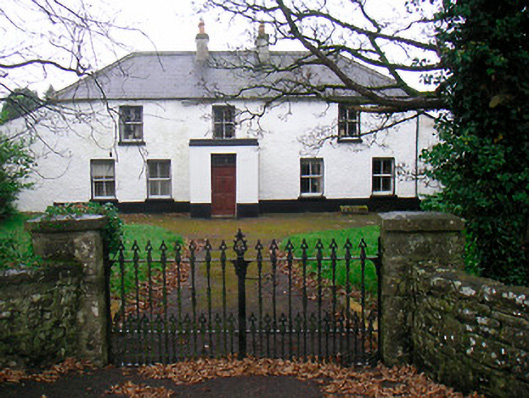 Ballyglass Househouse · 329 yd
 RathconrathCastle, motte · 357 yd
 P. Gunninghouse · 400 yd
 CastleCastle, unclassified · 467 yd
 Partially hachuredFairy fort / earthen ringfort · 480 yd
 Mweeleen MoatArchaeological place · 609 yd
 Ancient Ring FortWood · 775 yd
 Hill of UisneachMountain / peak · 3.4 mi
 Baronstown ForestWood · 4.8 mi
 Carrickphilbin IslandIslet · 5.4 mi
 Abbeyshrule AbbeyRuins · 6.4 mi
 Guest ServicesVisitor information · 7.7 mi
Other information
Photo: Credit not shown in the picture search · Rights wording not checked; contact us if this picture should be removed