What is recorded here
Fairy fort in Ballinlongig: a 27-metre earthen ring on a gentle south-east slope, its scarped edge worn to 0.75 metres by cattle and a broad SSE dip marking the old entrance. Inside, mature trees shade level pasture, while a dump of earth and stones lies in the north-east quadrant. The shape remains clear enough to walk, though animals have eaten much of the boundary and time has buried the rest under grass and shadow.
In pasture, on gentle SE-facing slope. Roughly circular area (24m N-S; 27m E-W) defined by scarped edge (H 0.75m; Wth 2m), with slight trace of inner lip (int. H 0.3m) N->SE. Scarp is much denuded by cattle with a noticeable dip at SSE (H 0.35m) for c. 8m. Level interior is under pasture and covered by mature trees. There is a dump of earth and stones in NE quadrant.
Compiled by: Denis Power
Date of upload: 26 August 2011
A fairy fort or earthen ringfort in Ballinlongig, likely dating to the early medieval period, is a circular earthwork with a scarped bank and ditch, typical of ancient Irish settlement sites. Local folklore may associate it with fairies or other supernatural beings, as is common with such features in Irish tradition.
The monument record does not grant public access. Check the route and ask the landowner before entering private land.
- What survives
- Recorded monument
Places near here
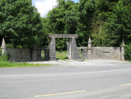 Springfield Castledemesne walls/gates/railings · 667 yd
 Enclosure in BallinlongigEnclosure · 964 yd
 Church (in ruins)Church · 1607 yd
 Burial GroundGraveyard · 1620 yd
 Castle (in ruins), Springfield CastleCastle, tower house · 1654 yd
 National Co-op MuseumMuseum · 1.3 mi
 CastleCastle, unclassified · 1.7 mi
 ToberacappeenSpring · 1.7 mi
 ToberhoranSpring · 2.5 mi
 Mullaghareirk - Banane LoopWalking route · 5.4 mi
 Ballagh MountainMountain / peak · 6.2 mi
 Rock HillMountain / peak · 7.9 mi