What is recorded here
Fairy fort / ringfort in Ballinlavin is a fairy fort or ringfort in Ballinlavin, County Westmeath, Ireland. Situated on the north-facing slope of a hill in pasture with good views to the east and west, the site is depicted on the 1837 edition Ordnance Survey six-inch map as a circular-shaped enclosure with an approximate diameter of 35 metres just west of the townland boundary. The revised 1913 edition Ordnance Survey twenty-five-inch map shows an oblong, irregular-shaped earthwork, while a 1971 description recorded no surface remains visible. A barely discernible cropmark of the levelled monument is visible on Digital Globe aerial photographs.
Situated on the N-facing slope of a hill, in pasture, with good views to E and W. Depicted on the 1837 ed. OS 6-inch map as a circular-shaped enclosure (approx. diam. 35m) standing just W of the townland boundary. Shown on the revised 1913 ed. OS 25-inch map as an oblong, irregular-shaped earthwork. Monument described in 1971 as no surface remains visible. Barely discernible cropmark of levelled monument visible today on Digital Globe aerial photographs.
Compiled by Alison McQueen, Vera Rahilly and Caimin O’Brien.
Date of upload: 28 August 2019
The monument record does not grant public access. Check the route and ask the landowner before entering private land.
- What survives
- Recorded monument
Places near here
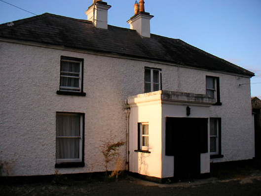 Killaroo Househouse · 476 yd
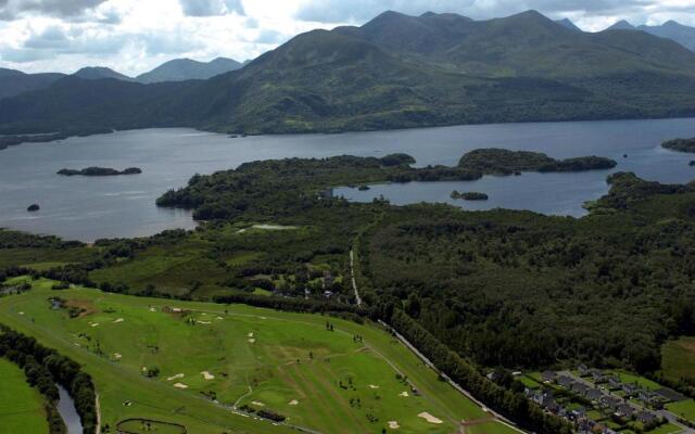 OutlinedFairy fort / earthen ringfort · 549 yd
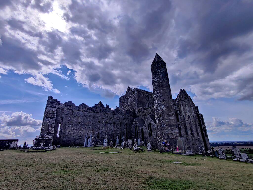 Partially hachuredFairy fort / earthen ringfort · 787 yd
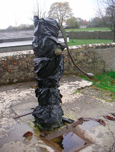 water pumpwater pump · 1114 yd
 Killeenbrack CastleCastle · 1392 yd
 Sam's ParkForest · 1480 yd
 Stremmingstown CastleCastle · 1498 yd
 European ashEuropean ash · 1.7 mi
 Hill of UisneachMountain / peak · 2.1 mi
 KnockastiaMountain / peak · 2.6 mi
 Dún na Sí Heritage CentreMuseum · 7.7 mi
 Guest ServicesVisitor information · 8.5 mi