What is recorded here
This is one of two houses (see also MA038-031001-) shown towards the SW end of Ballinlabaun townland on the Down Survey barony map (1656-8). The exact location of the house is unknown.
Compiled by: Jane O'Shaughnessy
Date of upload: 14 August 2019
The monument record does not grant public access. Check the route and ask the landowner before entering private land.
- What survives
- Recorded monument
Places near here
 RathbaunFairy fort / earthen ringfort · 430 yd
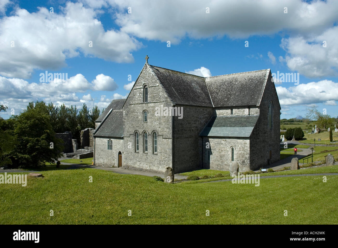 Enclosure in BallinlabaunEnclosure · 551 yd
 Enaghmore Castle (in Ruins)Castle, unclassified · 1.0 mi
 Grave of the KingsArchaeological place · 1.0 mi
 Catholic Church of Our Ladychurch/chapel · 1.5 mi
 Church in ruinsChurch · 1.5 mi
 RathmoreCastle, motte · 1.6 mi
 Castle IslandIslet · 3.4 mi
 Roe IslandIslet · 3.8 mi
 Titanic Memorial ParkMemorial · 4.6 mi
 NephinMountain / peak · 5.5 mi
 KnockaffertaghMountain / peak · 8.3 mi