What is recorded here
Indicated is a circular fairy fort in County Mayo pasture, its narrow earth bank ringed with hawthorn and punctuated by several gaps. It sits sixteen metres across, overlooked by a low ridge, while another rath waits one hundred and fifty metres to the southwest. The fort does not announce itself; it waits inside ordinary pasture for someone to stop walking and notice the shape holding the field together.
In fairly level pasture, overlooked by a low ridge to SSW.
Circular area (26.5m N−S; 27m E−W) defined by an earth and stone bank (Wth 2m; int. H 0.9m; ext. H 1m). The bank is similar in appearance to adjacent field fences: it is quite narrow and straight/high-sided in profile, with traces of possible drystone facing on both the internal and external faces. A short stretch at the SW is higher and more substantial (Wth c. 2.4m; H 1.4m). At N−NE there is a slight dip or depression outside the bank, but it is not evident elsewhere around the circuit.
There are narrow breaks (Wth 0.7-0.8m) at W and NE, a broader gap (Wth 1.6m) at E, and a low/eroded area (Wth 1.6m) at SE. The interior is level, and not noticeably raised relative to exterior ground level.
The bank is ringed with hawthorn. There is another rath (MA052-005----) 150m to SW.
Compiled by: Jane O'Shaughnessy
Date of upload: 26 June 2020
The monument record does not grant public access. Check the route and ask the landowner before entering private land.
- What survives
- Recorded monument
Places near here
 Musicans of DoocastleMemorial · 484 yd
 IndicatedEnclosure · 541 yd
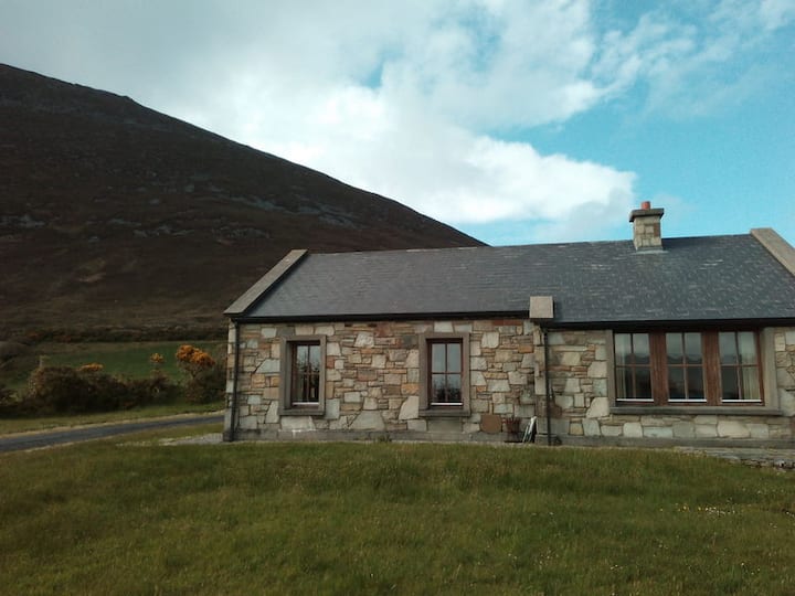 Doomore FortArchaeological place · 898 yd
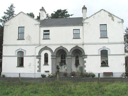 Doobeg Househouse · 1.3 mi
 CastleCastle, unclassified · 2.3 mi
 Castle (in Ruins)Castle, tower house · 2.6 mi
 Old Cave Burial GroundArchaeological place · 2.7 mi
 Tymon's HillMountain / peak · 2.9 mi
 Muckelty HillMountain / peak · 4.3 mi
 Caves of KeshCave · 8.7 mi
 School CaveCave · 9.6 mi
 Crow IslandIslet · 9.7 mi