
What is recorded here
Located in average pasture, with gently rising ground to N.
This enclosure is not shown on the 1838 OS 6-inch maps; it is shown on the 1920 edition as a D-shaped area defined on the straight side at W by a field boundary on a roughly N−S axis.
The remains consist of an enclosure that may originally have been circular or oval, but is now roughly D-shaped (28.6m NNE–SSW; c. 26m E–W to field fence), defined on its curving side N-SW by a low sod-covered stony bank (Wth 2.6m; int. H 0.3m; ext. H 0.3m), and bordered on the straight W side by a field fence on a NNE–SSW axis. The enclosing bank is thickly sod-covered, but eroded sections reveal that it is largely composed of small and medium-sized stones. The interior is level, but appears slightly sunken relative to exterior ground level, especially to SW. There is a low linear scarp (H 0.3m at W) extending for c. 10m from the bank at NE into the interior to SW. Much of the interior to SW, W and NE is engulfed in an impenetrable thicket of blackthorn. The overgrowth also conceals the relationship of the enclosure to a megalithic tomb (MA052-002----) which lies immediately to W. Relict cultivation ridges on a N-S axis can be seen in the surrounding field. A pit or hollow filled with wrecked cars is c. 8m to SSE of the enclosure.
Compiled by: Jane O'Shaughnessy
Date of upload: 26 June 2020
The monument record does not grant public access. Check the route and ask the landowner before entering private land.
- What survives
- Recorded monument
Places near here
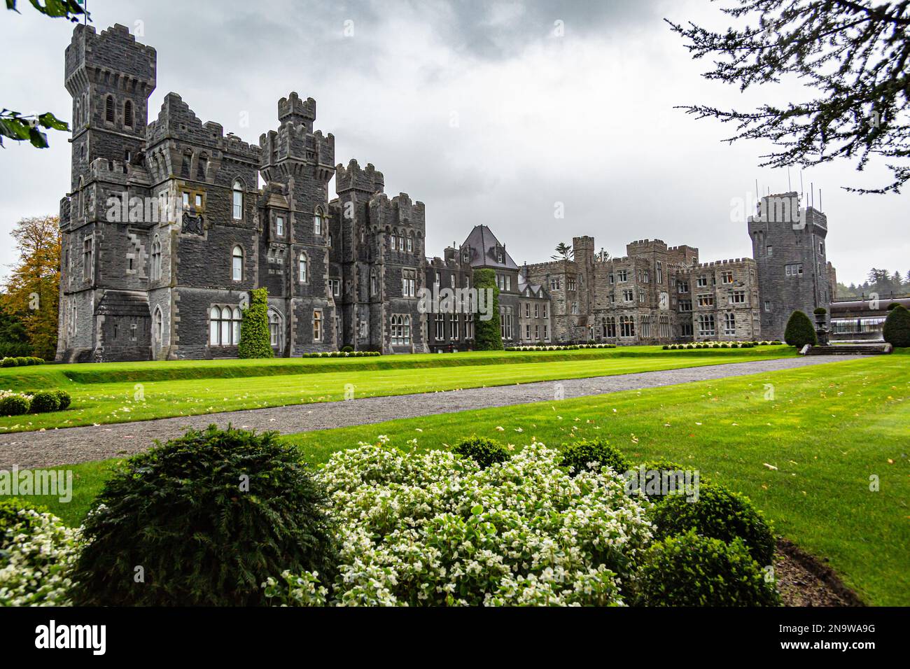 IndicatedFairy fort / earthen ringfort · 259 yd
 Musicans of DoocastleMemorial · 425 yd
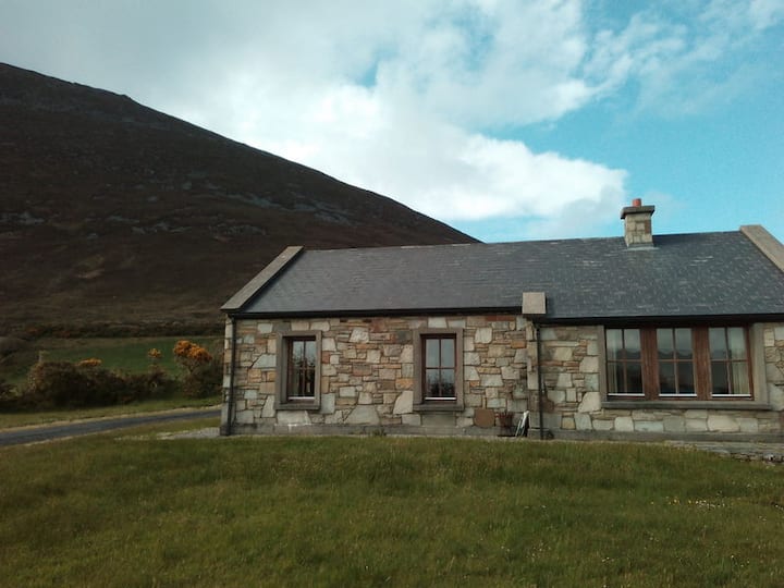 Doomore FortArchaeological place · 1431 yd
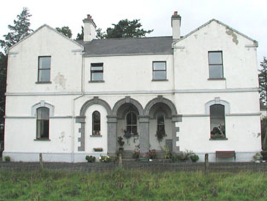 Doobeg Househouse · 1.5 mi
 CastleCastle, unclassified · 2.0 mi
 Castle (in Ruins)Castle, tower house · 2.6 mi
 Old Cave Burial GroundArchaeological place · 2.8 mi
 Tymon's HillMountain / peak · 3.0 mi
 Muckelty HillMountain / peak · 4.0 mi
 Caves of KeshCave · 8.8 mi
 School CaveCave · 9.7 mi
 Crow IslandIslet · 9.9 mi
Other information
Photo: Credit not shown in the picture search · Rights wording not checked; contact us if this picture should be removed